Mwene-Ditu night lights from space
Night Light of Mwene-Ditu (Lomami) from space (Democratic Republic of the Congo) Src. Average luminocity for 10x10km area is 0% and for 50x50km: 0%.

Analysis of Mwene-Ditu night lights 2016
Square area 10x10 km:
 0%
0%90-99
0%80-89
0%70-79
0%60-69
0%50-59
0%40-49
0%30-39
0%20-29
0%10-19
0%0-9
100%Square area 50x50 km:
0%90-99
0%80-89
0%70-79
0%60-69
0%50-59
0%40-49
0%30-39
0%20-29
0%10-19
0%0-9
100%Clear (daylight) street map image can be seen on geolist.org.
Map coordinates:
6° 18' 38.4" South, 22° 44' 58.8" East
7° 0' 32.6" South, 23° 27' 10" East
7° 42' 23" South, 24° 9' 21.3" East
Some cities around Mwene-Ditu sort by population:
• Mbuji-Mayi
98.2 km =61 mi,  8°
8°
• Kananga
168.6 km =104.8 mi,  317°
317°
• Gandajika
62.6 km =38.9 mi,  62°
62°
• Kamina
256.5 km =159.4 mi,  138°
138°
• Kabinda
149.3 km =92.8 mi,  49°
49°
• Lusambo
226.2 km =140.6 mi,  359°
359°
• Luebo
290.4 km =180.4 mi,  309°
309°
• Demba
213.1 km =132.4 mi, 322°
207570 (p: 189,177)
Sources (retrieved 2019-11-25):
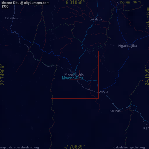
» NASA, Earths city lights 1995
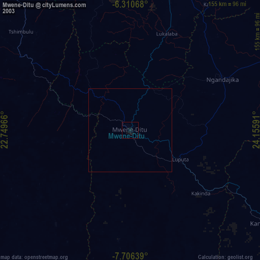
» NASA city lights 2003
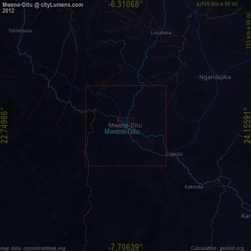
» Earth at Night: Flat Maps 2012, 2016