Kananga night lights from space
Night Light of Kananga (Kasai-Central) from space (Democratic Republic of the Congo) Src. Average luminocity for 10x10km area is 0.7417% and for 50x50km: 0.0308%.
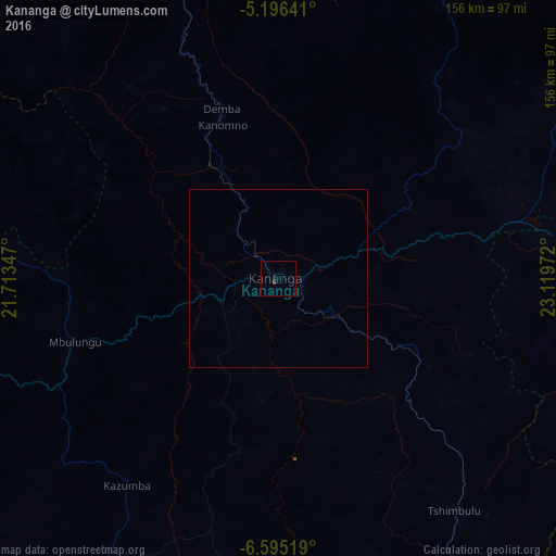

Analysis of Kananga night lights 2016
Square area 10x10 km:
 0%
0%90-99
0%80-89
0%70-79
0%60-69
0%50-59
0%40-49
0.83%30-39
0%20-29
0.83%10-19
0.83%0-9
97.52%Square area 50x50 km:
0%90-99
0%80-89
0%70-79
0%60-69
0%50-59
0%40-49
0.03%30-39
0%20-29
0.03%10-19
0.03%0-9
99.9%Clear (daylight) street map image can be seen on geolist.org.
Map coordinates:
5° 11' 47.1" South, 21° 42' 48.5" East
5° 53' 46.5" South, 22° 24' 59.7" East
6° 35' 42.7" South, 23° 7' 11" East
Some cities around Kananga sort by population:
• Mbuji-Mayi
132.4 km =82.3 mi,  101°
101°
• Tshikapa
187.8 km =116.7 mi,  252°
252°
• Mwene-Ditu
168.6 km =104.8 mi,  137°
137°
• Gandajika
194.3 km =120.7 mi,  119°
119°
• Mweka
150 km =93.2 mi,  320°
320°
• Lusambo
153 km =95.1 mi,  47°
47°
• Luebo
125.6 km =78 mi,  298°
298°
• Demba
47.4 km =29.5 mi,  339°
339°
214481 (p: 463,546)
Sources (retrieved 2019-11-25):
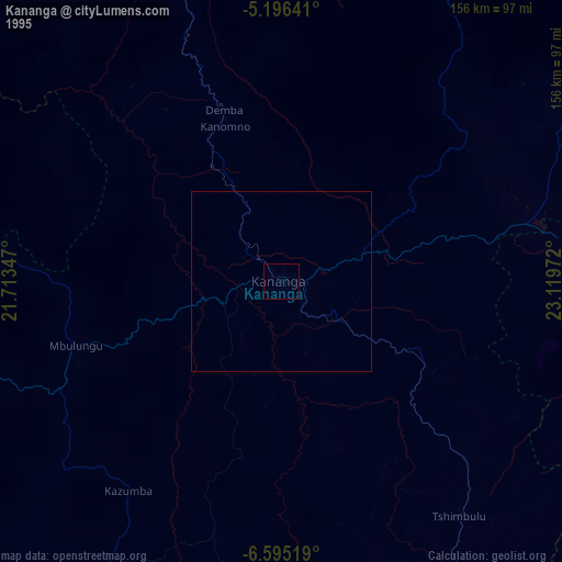
» NASA, Earths city lights 1995
» NASA city lights 2003
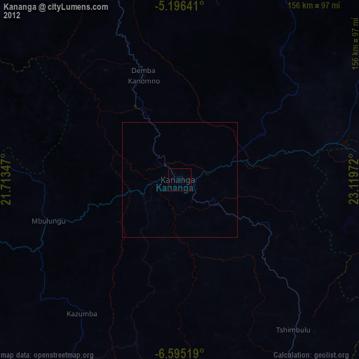
» Earth at Night: Flat Maps 2012, 2016