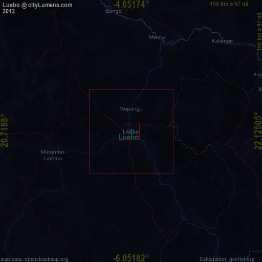
Luebo night lights from space
Night Light of Luebo (Kasai) from space (Democratic Republic of the Congo) Src. Average luminocity for 10x10km area is 0% and for 50x50km: 0%.
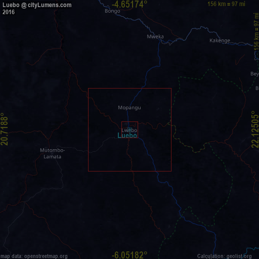
Analysis of Luebo night lights 2016
Square area 10x10 km:
 0%
0%90-99
0%80-89
0%70-79
0%60-69
0%50-59
0%40-49
0%30-39
0%20-29
0%10-19
0%0-9
100%Square area 50x50 km:
0%90-99
0%80-89
0%70-79
0%60-69
0%50-59
0%40-49
0%30-39
0%20-29
0%10-19
0%0-9
100%Clear (daylight) street map image can be seen on geolist.org.
Map coordinates:
4° 39' 6.3" South, 20° 43' 7.7" East
5° 21' 7.8" South, 21° 25' 18.9" East
6° 3' 6.6" South, 22° 7' 30.2" East
Some cities around Luebo sort by population:
• Mbuji-Mayi
255.2 km =158.6 mi,  109°
109°
• Kananga
125.6 km =78 mi,  118°
118°
• Tshikapa
136.9 km =85.1 mi,  210°
210°
• Ilebo
146.5 km =91 mi,  320°
320°
• Mweka
57.7 km =35.9 mi,  15°
15°
• Lusambo
227.8 km =141.5 mi,  79°
79°
• Mangai
256.1 km =159.1 mi,  305°
305°
• Demba
95.2 km =59.2 mi,  99°
99°
210939 (p: 35,183)
Sources (retrieved 2019-11-25):
» Earth at Night: Flat Maps 2012, 2016