Kabinda night lights from space
Night Light of Kabinda (Kasaï-Oriental) from space (Democratic Republic of the Congo) Src. Average luminocity for 10x10km area is 0% and for 50x50km: 0%.

Analysis of Kabinda night lights 2016
Square area 10x10 km:
 0%
0%90-99
0%80-89
0%70-79
0%60-69
0%50-59
0%40-49
0%30-39
0%20-29
0%10-19
0%0-9
100%Square area 50x50 km:
0%90-99
0%80-89
0%70-79
0%60-69
0%50-59
0%40-49
0%30-39
0%20-29
0%10-19
0%0-9
100%Clear (daylight) street map image can be seen on geolist.org.
Map coordinates:
5° 26' 18.1" South, 23° 46' 43.2" East
6° 8' 16.5" South, 24° 28' 54.4" East
6° 50' 11.5" South, 25° 11' 5.7" East
Some cities around Kabinda sort by population:
• Mbuji-Mayi
98.6 km =61.3 mi,  270°
270°
• Kananga
229.9 km =142.9 mi,  276°
276°
• Mwene-Ditu
149.3 km =92.8 mi,  229°
229°
• Gandajika
89.3 km =55.5 mi,  220°
220°
• Lubao
163.1 km =101.3 mi,  59°
59°
• Lusambo
172.9 km =107.4 mi,  318°
318°
• Kabalo
269.1 km =167.2 mi,  87°
87°
• Demba
254.9 km =158.4 mi,  286°
286°
215527 (p: 59,004)
Sources (retrieved 2019-11-25):
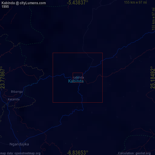
» NASA, Earths city lights 1995
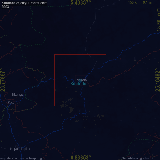
» NASA city lights 2003
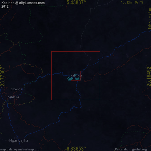
» Earth at Night: Flat Maps 2012, 2016