Demba night lights from space
Night Light of Demba (Kasai-Central) from space (Democratic Republic of the Congo) Src. Average luminocity for 10x10km area is 0% and for 50x50km: 0%.
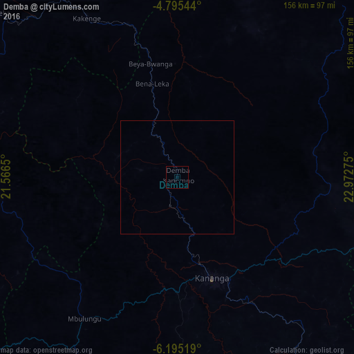
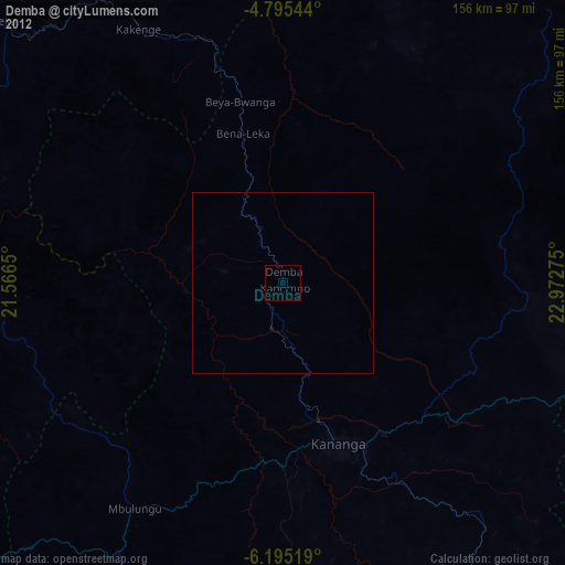
Analysis of Demba night lights 2016
Square area 10x10 km:
 0%
0%90-99
0%80-89
0%70-79
0%60-69
0%50-59
0%40-49
0%30-39
0%20-29
0%10-19
0%0-9
100%Square area 50x50 km:
0%90-99
0%80-89
0%70-79
0%60-69
0%50-59
0%40-49
0%30-39
0%20-29
0%10-19
0%0-9
100%Clear (daylight) street map image can be seen on geolist.org.
Map coordinates:
4° 47' 43.6" South, 21° 33' 59.4" East
5° 29' 44.6" South, 22° 16' 10.6" East
6° 11' 42.7" South, 22° 58' 21.9" East
Some cities around Demba sort by population:
• Mbuji-Mayi
162.5 km =101 mi,  115°
115°
• Kananga
47.4 km =29.5 mi,  159°
159°
• Tshikapa
192.1 km =119.4 mi,  237°
237°
• Mwene-Ditu
213.1 km =132.4 mi,  142°
142°
• Ilebo
227 km =141.1 mi,  304°
304°
• Mweka
106.3 km =66.1 mi,  312°
312°
• Lusambo
142.3 km =88.4 mi,  65°
65°
• Luebo
95.2 km =59.2 mi,  279°
279°
217389 (p: 22,263)
Sources (retrieved 2019-11-25):
» Earth at Night: Flat Maps 2012, 2016