Gandajika night lights from space
Night Light of Gandajika (Kasaï-Oriental) from space (Democratic Republic of the Congo) Src. Average luminocity for 10x10km area is 0% and for 50x50km: 0%.

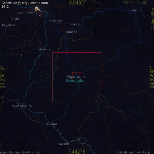
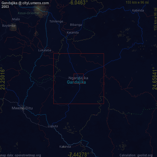
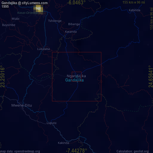
Analysis of Gandajika night lights 2016
Square area 10x10 km:
 0%
0%90-99
0%80-89
0%70-79
0%60-69
0%50-59
0%40-49
0%30-39
0%20-29
0%10-19
0%0-9
100%Square area 50x50 km:
0%90-99
0%80-89
0%70-79
0%60-69
0%50-59
0%40-49
0%30-39
0%20-29
0%10-19
0%0-9
100%Clear (daylight) street map image can be seen on geolist.org.
Map coordinates:
6° 2' 46.7" South, 23° 15' 0.6" East
6° 44' 42.1" South, 23° 57' 11.8" East
7° 26' 34" South, 24° 39' 23.1" East
Some cities around Gandajika sort by population:
• Mbuji-Mayi
78.7 km =48.9 mi,  329°
329°
• Kananga
194.3 km =120.7 mi,  299°
299°
• Mwene-Ditu
62.6 km =38.9 mi,  242°
242°
• Kamina
249.4 km =155 mi,  152°
152°
• Kabinda
89.3 km =55.5 mi,  40°
40°
• Lubao
249.4 km =155 mi,  52°
52°
• Lusambo
204.7 km =127.2 mi,  344°
344°
• Demba
232.3 km =144.3 mi,  306°
306°
216449 (p: 154,425)
Sources (retrieved 2019-11-25):
» NASA, Earths city lights 1995
» NASA city lights 2003
» Earth at Night: Flat Maps 2012, 2016