Kamina night lights from space
Night Light of Kamina (Haut-Lomami) from space (Democratic Republic of the Congo) Src. Average luminocity for 10x10km area is 6.6508% and for 50x50km: 0.3408%.
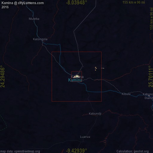

Analysis of Kamina night lights 2016
Square area 10x10 km:
 0%
0%90-99
0%80-89
0.83%70-79
0.83%60-69
1.03%50-59
2.27%40-49
1.65%30-39
2.48%20-29
3.1%10-19
1.03%0-9
86.78%Square area 50x50 km:
0%90-99
0%80-89
0.03%70-79
0.03%60-69
0.04%50-59
0.19%40-49
0.07%30-39
0.1%20-29
0.16%10-19
0.04%0-9
99.33%Clear (daylight) street map image can be seen on geolist.org.
Map coordinates:
8° 2' 22.1" South, 24° 17' 41.5" East
8° 44' 6.3" South, 24° 59' 52.7" East
9° 25' 45.8" South, 25° 42' 4" East
Some cities around Kamina sort by population:
• Mbuji-Mayi
328 km =203.8 mi,  331°
331°
• Likasi
314.4 km =195.4 mi,  142°
142°
• Kolwezi
226 km =140.4 mi,  166°
166°
• Mwene-Ditu
256.5 km =159.4 mi,  318°
318°
• Gandajika
249.4 km =155 mi, 332°
• Kabinda
294.3 km =182.9 mi,  348°
348°
• Bukama
107.6 km =66.9 mi,  119°
119°
• Kambove
295.4 km =183.6 mi, 143°
214614 (p: 73,557)
Sources (retrieved 2019-11-25):
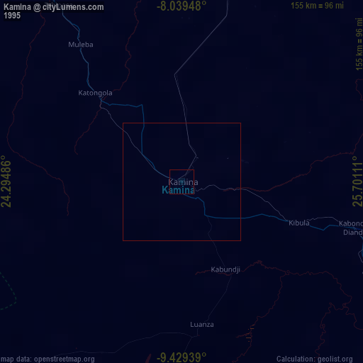
» NASA, Earths city lights 1995
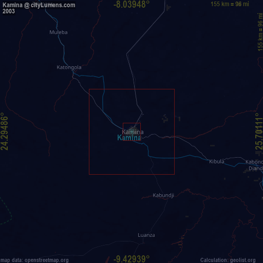
» NASA city lights 2003
» Earth at Night: Flat Maps 2012, 2016