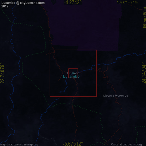
Lusambo night lights from space
Night Light of Lusambo (Sankuru) from space (Democratic Republic of the Congo) Src. Average luminocity for 10x10km area is 0% and for 50x50km: 0%.
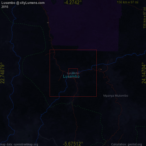
Analysis of Lusambo night lights 2016
Square area 10x10 km:
 0%
0%90-99
0%80-89
0%70-79
0%60-69
0%50-59
0%40-49
0%30-39
0%20-29
0%10-19
0%0-9
100%Square area 50x50 km:
0%90-99
0%80-89
0%70-79
0%60-69
0%50-59
0%40-49
0%30-39
0%20-29
0%10-19
0%0-9
100%Clear (daylight) street map image can be seen on geolist.org.
Map coordinates:
4° 16' 27.1" South, 22° 44' 26.8" East
4° 58' 30.1" South, 23° 26' 38.1" East
5° 40' 30.4" South, 24° 8' 49.3" East
Some cities around Lusambo sort by population:
• Mbuji-Mayi
130.1 km =80.8 mi,  172°
172°
• Kananga
153 km =95.1 mi,  227°
227°
• Mwene-Ditu
226.2 km =140.6 mi,  179°
179°
• Gandajika
204.7 km =127.2 mi,  164°
164°
• Lodja
162.6 km =101 mi,  6°
6°
• Kabinda
172.9 km =107.4 mi,  138°
138°
• Mweka
209.2 km =130 mi,  273°
273°
• Demba
142.3 km =88.4 mi,  245°
245°
210379 (p: 41,416)
Sources (retrieved 2019-11-25):
» Earth at Night: Flat Maps 2012, 2016