Mbuji-Mayi night lights from space
Night Light of Mbuji-Mayi (Kasaï-Oriental) from space (Democratic Republic of the Congo) Src. Average luminocity for 10x10km area is 15.8554% and for 50x50km: 0.7207%.
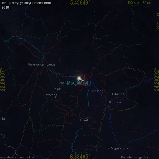
Analysis of Mbuji-Mayi night lights 2016
Square area 10x10 km:
 1.45%
1.45%90-99
3.31%80-89
1.03%70-79
0%60-69
3.72%50-59
1.65%40-49
6.61%30-39
1.86%20-29
1.65%10-19
1.65%0-9
77.07%Square area 50x50 km:
0.06%90-99
0.14%80-89
0.04%70-79
0%60-69
0.15%50-59
0.07%40-49
0.28%30-39
0.1%20-29
0.09%10-19
0.08%0-9
98.98%Clear (daylight) street map image can be seen on geolist.org.
Map coordinates:
5° 26' 11.4" South, 22° 53' 12" East
6° 8' 9.7" South, 23° 35' 23.2" East
6° 50' 4.7" South, 24° 17' 34.5" East
Some cities around Mbuji-Mayi sort by population:
• Kananga
132.4 km =82.3 mi,  281°
281°
• Mwene-Ditu
98.2 km =61 mi,  188°
188°
• Gandajika
78.7 km =48.9 mi,  149°
149°
• Kabinda
98.6 km =61.3 mi,  90°
90°
• Lubao
252.9 km =157.1 mi,  70°
70°
• Lusambo
130.1 km =80.8 mi,  352°
352°
• Luebo
255.2 km =158.6 mi,  289°
289°
• Demba
162.5 km =101 mi,  295°
295°
209228 (p: 874,761)
Sources (retrieved 2019-11-25):
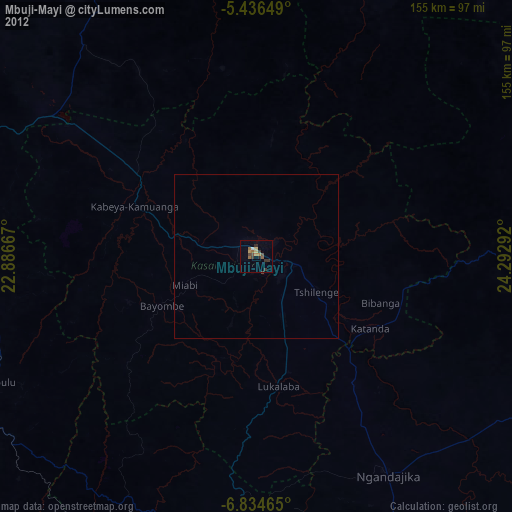
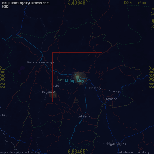
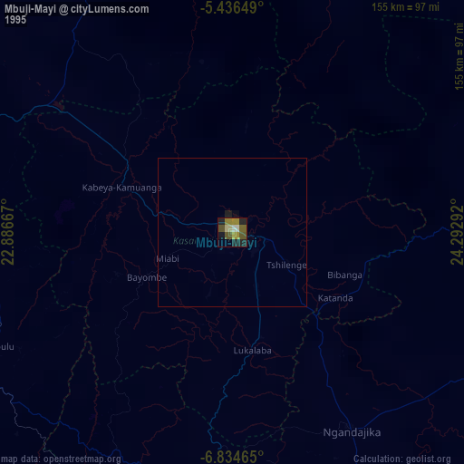
» NASA, Earths city lights 1995
» NASA city lights 2003
» Earth at Night: Flat Maps 2012, 2016