Mweka night lights from space
Night Light of Mweka (Kasai) from space (Democratic Republic of the Congo) Src. Average luminocity for 10x10km area is 0% and for 50x50km: 0%.
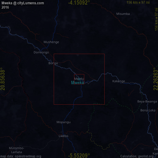

Analysis of Mweka night lights 2016
Square area 10x10 km:
 0%
0%90-99
0%80-89
0%70-79
0%60-69
0%50-59
0%40-49
0%30-39
0%20-29
0%10-19
0%0-9
100%Square area 50x50 km:
0%90-99
0%80-89
0%70-79
0%60-69
0%50-59
0%40-49
0%30-39
0%20-29
0%10-19
0%0-9
100%Clear (daylight) street map image can be seen on geolist.org.
Map coordinates:
4° 9' 3.3" South, 20° 51' 23" East
4° 51' 6.7" South, 21° 33' 34.2" East
5° 33' 7.5" South, 22° 15' 45.5" East
Some cities around Mweka sort by population:
• Mbuji-Mayi
266.2 km =165.4 mi,  122°
122°
• Kananga
150 km =93.2 mi,  140°
140°
• Tshikapa
193.2 km =120 mi,  205°
205°
• Ilebo
122.4 km =76.1 mi,  298°
298°
• Lusambo
209.2 km =130 mi,  93°
93°
• Mangai
242.7 km =150.8 mi,  292°
292°
• Luebo
57.7 km =35.9 mi,  195°
195°
• Demba
106.3 km =66.1 mi,  132°
132°
207596 (p: 50,675)
Sources (retrieved 2019-11-25):
» NASA, Earths city lights 1995
» NASA city lights 2003
» Earth at Night: Flat Maps 2012, 2016