Tshikapa night lights from space
Night Light of Tshikapa (Kasai) from space (Democratic Republic of the Congo) Src. Average luminocity for 10x10km area is 1.7403% and for 50x50km: 0.0698%.
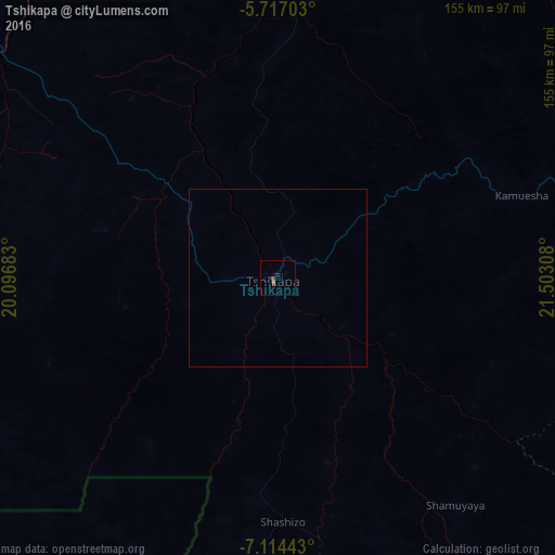
Analysis of Tshikapa night lights 2016
Square area 10x10 km:
 0%
0%90-99
0%80-89
0%70-79
0%60-69
0.22%50-59
0.65%40-49
1.73%30-39
0%20-29
1.3%10-19
0.43%0-9
95.67%Square area 50x50 km:
0%90-99
0%80-89
0%70-79
0%60-69
0.01%50-59
0.03%40-49
0.07%30-39
0%20-29
0.05%10-19
0.02%0-9
99.83%Clear (daylight) street map image can be seen on geolist.org.
Map coordinates:
5° 43' 1.3" South, 20° 5' 48.6" East
6° 24' 58.4" South, 20° 47' 59.8" East
7° 6' 51.9" South, 21° 30' 11.1" East
Some cities around Tshikapa sort by population:
• Kananga
187.8 km =116.7 mi,  72°
72°
• Mwene-Ditu
300.3 km =186.6 mi,  102°
102°
• Kikwit
267.5 km =166.2 mi,  304°
304°
• Ilebo
233 km =144.8 mi,  354°
354°
• Mweka
193.2 km =120 mi,  25°
25°
• Luebo
136.9 km =85.1 mi, 30°
• Demba
192.1 km =119.4 mi,  57°
57°
• Lucapa, AO
222.8 km =138.4 mi,  181°
181°
204953 (p: 267,462)
Sources (retrieved 2019-11-25):
» NASA, Earths city lights 1995
» NASA city lights 2003
» Earth at Night: Flat Maps 2012, 2016