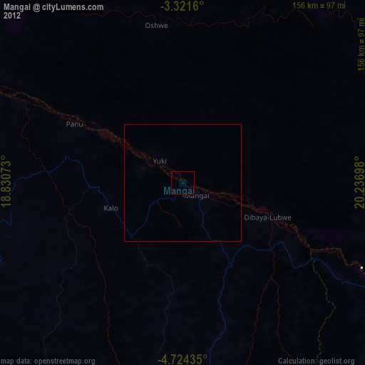
Mangai night lights from space
Night Light of Mangai (Kwilu) from space (Democratic Republic of the Congo) Src. Average luminocity for 10x10km area is 0% and for 50x50km: 0%.
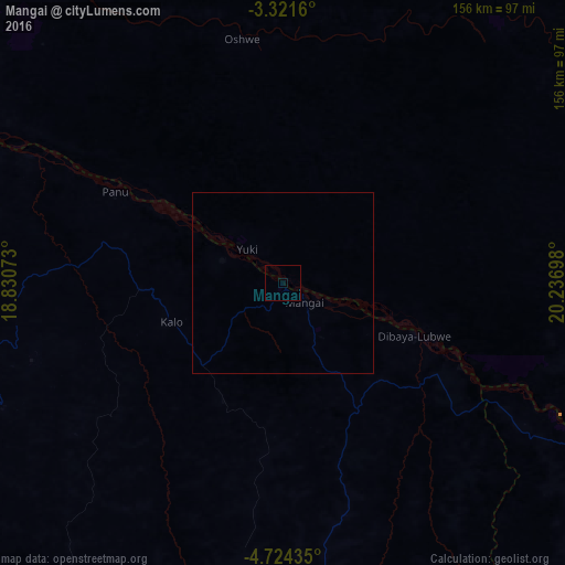
Analysis of Mangai night lights 2016
Square area 10x10 km:
 0%
0%90-99
0%80-89
0%70-79
0%60-69
0%50-59
0%40-49
0%30-39
0%20-29
0%10-19
0%0-9
100%Square area 50x50 km:
0%90-99
0%80-89
0%70-79
0%60-69
0%50-59
0%40-49
0%30-39
0%20-29
0%10-19
0%0-9
100%Clear (daylight) street map image can be seen on geolist.org.
Map coordinates:
3° 19' 17.8" South, 18° 49' 50.6" East
4° 1' 23.8" South, 19° 32' 1.9" East
4° 43' 27.7" South, 20° 14' 13.1" East
Some cities around Mangai sort by population:
• Kikwit
138.3 km =85.9 mi,  215°
215°
• Bandundu
251.5 km =156.3 mi,  288°
288°
• Ilebo
121.6 km =75.6 mi,  106°
106°
• Mweka
242.7 km =150.8 mi, 112°
• Bulungu
118.3 km =73.5 mi,  240°
240°
• Nioki
250.7 km =155.8 mi,  305°
305°
• Inongo
271 km =168.4 mi,  329°
329°
• Luebo
256.1 km =159.1 mi,  125°
125°
2313084 (p: 37,188)
Sources (retrieved 2019-11-25):
» Earth at Night: Flat Maps 2012, 2016