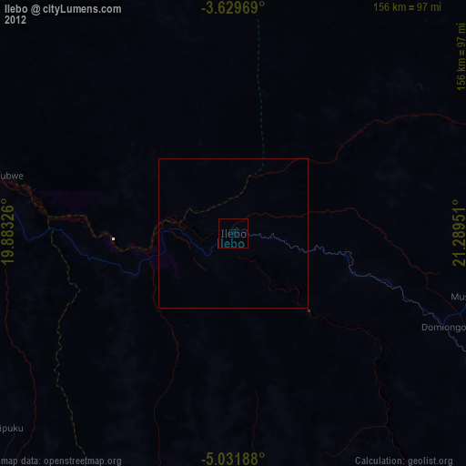
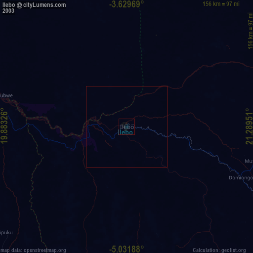
Ilebo night lights from space
Night Light of Ilebo (Kasai) from space (Democratic Republic of the Congo) Src. Average luminocity for 10x10km area is 0% and for 50x50km: 0%.
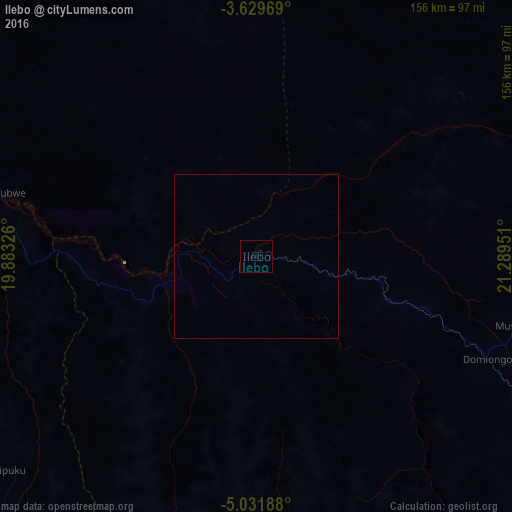

Analysis of Ilebo night lights 2016
Square area 10x10 km:
 0%
0%90-99
0%80-89
0%70-79
0%60-69
0%50-59
0%40-49
0%30-39
0%20-29
0%10-19
0%0-9
100%Square area 50x50 km:
0%90-99
0%80-89
0%70-79
0%60-69
0%50-59
0%40-49
0%30-39
0%20-29
0%10-19
0%0-9
100%Clear (daylight) street map image can be seen on geolist.org.
Map coordinates:
3° 37' 46.9" South, 19° 52' 59.7" East
4° 19' 52" South, 20° 35' 11" East
5° 1' 54.8" South, 21° 17' 22.2" East
Some cities around Ilebo sort by population:
• Kananga
267.1 km =166 mi,  130°
130°
• Tshikapa
233 km =144.8 mi,  174°
174°
• Kikwit
211.5 km =131.4 mi,  248°
248°
• Mweka
122.4 km =76.1 mi,  118°
118°
• Bulungu
221.1 km =137.4 mi,  263°
263°
• Mangai
121.6 km =75.6 mi,  286°
286°
• Luebo
146.5 km =91 mi,  140°
140°
• Demba
227 km =141.1 mi, 124°
215976 (p: 107,093)
Sources (retrieved 2019-11-25):
» NASA, Earths city lights 1995
» NASA city lights 2003
» Earth at Night: Flat Maps 2012, 2016