Lubao night lights from space
Night Light of Lubao (Lomami) from space (Democratic Republic of the Congo) Src. Average luminocity for 10x10km area is 0% and for 50x50km: 0%.

Analysis of Lubao night lights 2016
Square area 10x10 km:
 0%
0%90-99
0%80-89
0%70-79
0%60-69
0%50-59
0%40-49
0%30-39
0%20-29
0%10-19
0%0-9
100%Square area 50x50 km:
0%90-99
0%80-89
0%70-79
0%60-69
0%50-59
0%40-49
0%30-39
0%20-29
0%10-19
0%0-9
100%Clear (daylight) street map image can be seen on geolist.org.
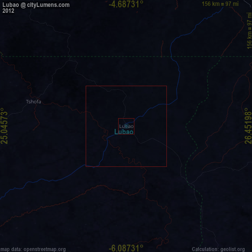
Map coordinates:
4° 41' 14.3" South, 25° 2' 44.6" East
5° 23' 15.8" South, 25° 44' 55.9" East
6° 5' 14.3" South, 26° 27' 7.1" East
Some cities around Lubao sort by population:
• Mbuji-Mayi
252.9 km =157.1 mi,  250°
250°
• Gandajika
249.4 km =155 mi,  232°
232°
• Kabinda
163.1 km =101.3 mi,  239°
239°
• Kasongo
147.4 km =91.6 mi,  43°
43°
• Lusambo
259.3 km =161.1 mi,  280°
280°
• Kampene
223.6 km =138.9 mi,  27°
27°
• Kongolo
138.5 km =86.1 mi,  89°
89°
• Kabalo
148.6 km =92.3 mi,  119°
119°
211098 (p: 43,068)
Sources (retrieved 2019-11-25):
» Earth at Night: Flat Maps 2012, 2016