Lodja night lights from space
Night Light of Lodja (Sankuru) from space (Democratic Republic of the Congo) Src. Average luminocity for 10x10km area is 0% and for 50x50km: 0%.
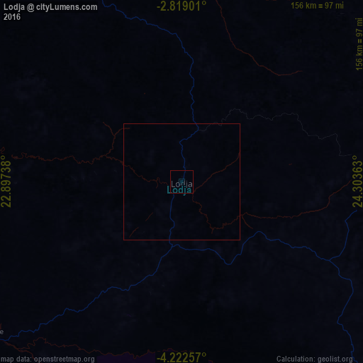
Analysis of Lodja night lights 2016
Square area 10x10 km:
 0%
0%90-99
0%80-89
0%70-79
0%60-69
0%50-59
0%40-49
0%30-39
0%20-29
0%10-19
0%0-9
100%Square area 50x50 km:
0%90-99
0%80-89
0%70-79
0%60-69
0%50-59
0%40-49
0%30-39
0%20-29
0%10-19
0%0-9
100%Clear (daylight) street map image can be seen on geolist.org.
Map coordinates:
2° 49' 8.4" South, 22° 53' 50.6" East
3° 31' 15.8" South, 23° 36' 1.8" East
4° 13' 21.3" South, 24° 18' 13.1" East
Some cities around Lodja sort by population:
• Mbuji-Mayi
290.8 km =180.7 mi,  180°
180°
• Kananga
294.9 km =183.2 mi,  206°
206°
• Kindu
265.6 km =165 mi,  76°
76°
• Kabinda
306.9 km =190.7 mi,  161°
161°
• Mweka
270.4 km =168 mi,  236°
236°
• Lubao
315.9 km =196.3 mi,  131°
131°
• Lusambo
162.6 km =101 mi,  186°
186°
• Demba
264.5 km =164.4 mi, 213°
211647 (p: 68,244)
Sources (retrieved 2019-11-25):
» NASA, Earths city lights 1995
» NASA city lights 2003
» Earth at Night: Flat Maps 2012, 2016