Kambove night lights from space
Night Light of Kambove (Haut-Katanga) from space (Democratic Republic of the Congo) Src. Average luminocity for 10x10km area is 8.4394% and for 50x50km: 3.5712%.
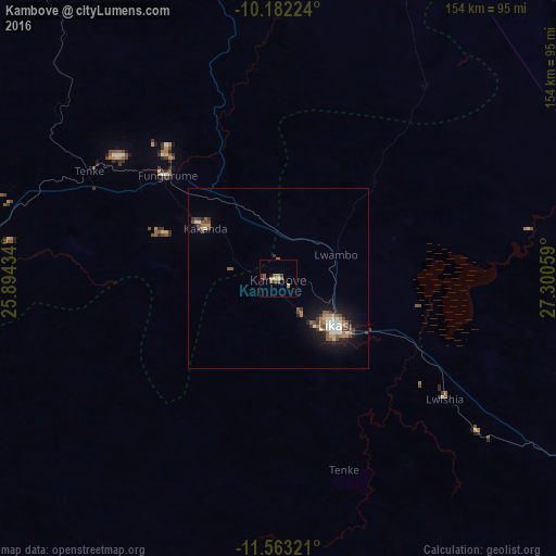
Analysis of Kambove night lights 2016
Square area 10x10 km:
 0%
0%90-99
0%80-89
0.87%70-79
2.38%60-69
1.08%50-59
3.25%40-49
1.95%30-39
2.81%20-29
0.65%10-19
0.87%0-9
86.15%Square area 50x50 km:
0.39%90-99
0.45%80-89
0.28%70-79
0.31%60-69
0.59%50-59
0.82%40-49
0.65%30-39
0.61%20-29
0.47%10-19
2.68%0-9
92.74%Clear (daylight) street map image can be seen on geolist.org.
Map coordinates:
10° 10' 56.1" South, 25° 53' 39.6" East
10° 52' 24.7" South, 26° 35' 50.9" East
11° 33' 47.6" South, 27° 18' 2.1" East
Some cities around Kambove sort by population:
• Lubumbashi
130.1 km =80.8 mi,  132°
132°
• Likasi
19.6 km =12.2 mi, 128°
• Kolwezi
124.8 km =77.5 mi,  278°
278°
• Kipushi
121.7 km =75.6 mi,  144°
144°
• Chililabombwe, ZM
212.8 km =132.2 mi, 141°
• Kansanshi, ZM
137.1 km =85.2 mi,  187°
187°
• Bukama
202.6 km =125.9 mi,  336°
336°
• Solwezi, ZM
145.8 km =90.6 mi, 188°
923058 (p: 36,702)
Sources (retrieved 2019-11-25):
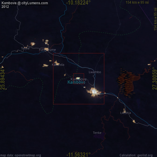
» Earth at Night: Flat Maps 2012, 2016