Chingola night lights from space
Night Light of Chingola (Copperbelt) from space (Zambia) Src. Average luminocity for 10x10km area is 49.7554% and for 50x50km: 5.6217%.
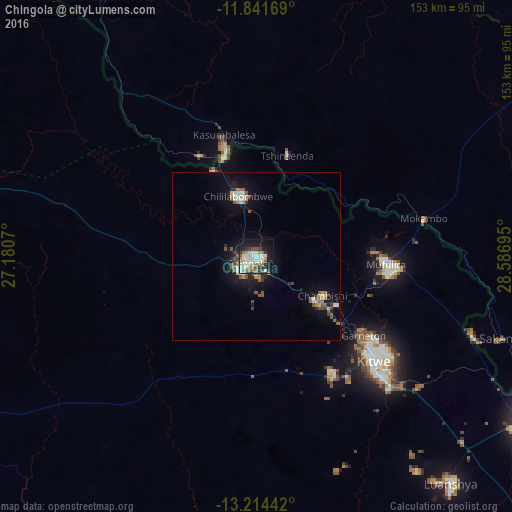
Analysis of Chingola night lights 2016
Square area 10x10 km:
 11.04%
90-99
14.29%80-89
5.84%70-79
2.81%60-69
9.74%50-59
3.46%40-49
3.9%30-39
5.41%20-29
6.06%10-19
31.6%0-9
5.84%Square area 50x50 km:
0.83%90-99
0.91%80-89
0.47%70-79
0.31%60-69
0.82%50-59
1.01%40-49
0.73%30-39
0.68%20-29
0.83%10-19
4.6%0-9
88.79%Clear (daylight) street map image can be seen on geolist.org.
Map coordinates:
11° 50' 30.1" South, 27° 10' 50.5" East
12° 31' 44.3" South, 27° 53' 1.8" East
13° 12' 51.9" South, 28° 35' 13" East
Some cities around Chingola sort by population:
• Lubumbashi, CD
106.1 km =65.9 mi,  335°
335°
• Kitwe
46.9 km =29.1 mi,  130°
130°
• Ndola
94.6 km =58.8 mi,  120°
120°
• Mufulira
38.8 km =24.1 mi,  93°
93°
• Luanshya
88.9 km =55.2 mi,  139°
139°
• Kalulushi
41.6 km =25.8 mi,  146°
146°
• Chililabombwe
19.4 km =12.1 mi, 340°
• Chambishi
21.7 km =13.5 mi, 121°
919009 (p: 148,564)
Sources (retrieved 2019-11-25):
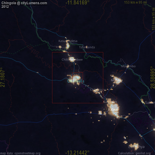
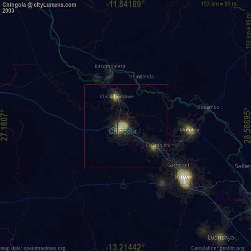
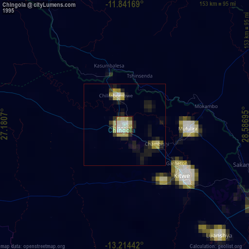
» NASA, Earths city lights 1995
» NASA city lights 2003
» Earth at Night: Flat Maps 2012, 2016