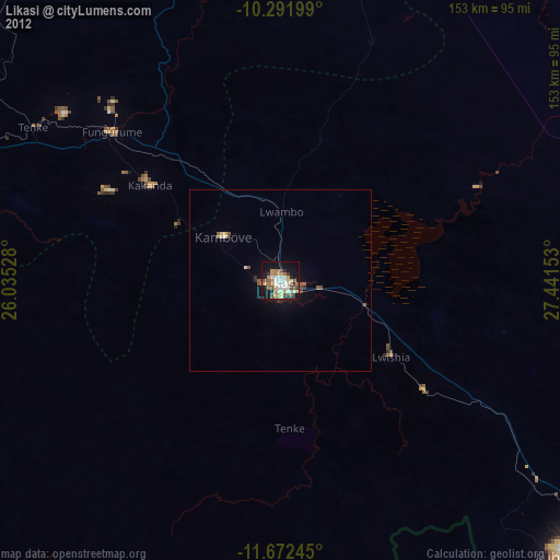
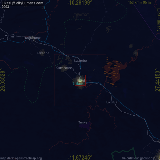
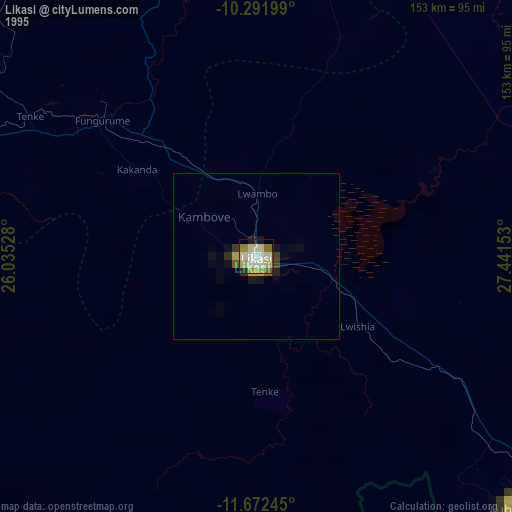
Likasi night lights from space
Night Light of Likasi (Haut-Katanga) from space (Democratic Republic of the Congo) Src. Average luminocity for 10x10km area is 47.8117% and for 50x50km: 3.1233%.

Analysis of Likasi night lights 2016
Square area 10x10 km:
 8.66%
8.66%90-99
10.61%80-89
4.11%70-79
3.68%60-69
10.61%50-59
9.96%40-49
5.63%30-39
5.84%20-29
4.55%10-19
31.39%0-9
4.98%Square area 50x50 km:
0.35%90-99
0.42%80-89
0.21%70-79
0.25%60-69
0.56%50-59
0.67%40-49
0.55%30-39
0.53%20-29
0.38%10-19
2.68%0-9
93.38%Clear (daylight) street map image can be seen on geolist.org.
Map coordinates:
10° 17' 31.2" South, 26° 2' 7" East
10° 58' 58.9" South, 26° 44' 18.2" East
11° 40' 20.8" South, 27° 26' 29.5" East
Some cities around Likasi sort by population:
• Lubumbashi
110.5 km =68.7 mi,  133°
133°
• Kolwezi
142 km =88.2 mi,  282°
282°
• Chingola, ZM
212.4 km =132 mi,  144°
144°
• Kipushi
103 km =64 mi,  147°
147°
• Chililabombwe, ZM
193.8 km =120.4 mi, 142°
• Kansanshi, ZM
128.2 km =79.7 mi,  195°
195°
• Kambove
19.6 km =12.2 mi,  308°
308°
• Solwezi, ZM
137.2 km =85.3 mi, 196°
922741 (p: 422,414)
Sources (retrieved 2019-11-25):
» NASA, Earths city lights 1995
» NASA city lights 2003
» Earth at Night: Flat Maps 2012, 2016