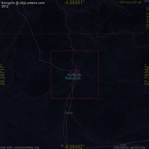
Kongolo night lights from space
Night Light of Kongolo (Tanganyika) from space (Democratic Republic of the Congo) Src. Average luminocity for 10x10km area is 0% and for 50x50km: 0%.
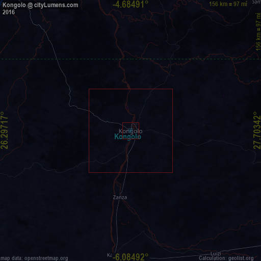
Analysis of Kongolo night lights 2016
Square area 10x10 km:
 0%
0%90-99
0%80-89
0%70-79
0%60-69
0%50-59
0%40-49
0%30-39
0%20-29
0%10-19
0%0-9
100%Square area 50x50 km:
0%90-99
0%80-89
0%70-79
0%60-69
0%50-59
0%40-49
0%30-39
0%20-29
0%10-19
0%0-9
100%Clear (daylight) street map image can be seen on geolist.org.
Map coordinates:
4° 41' 5.7" South, 26° 17' 49.8" East
5° 23' 7.2" South, 27° 0' 1" East
6° 5' 5.7" South, 27° 42' 12.3" East
Some cities around Kongolo sort by population:
• Kigoma, TZ
296.3 km =184.1 mi,  79°
79°
• Kalemie
250.7 km =155.8 mi,  104°
104°
• Kindu
296.6 km =184.3 mi,  336°
336°
• Kabinda
290.9 km =180.8 mi,  253°
253°
• Kasongo
112.7 km =70 mi, 340°
• Lubao
138.5 km =86.1 mi,  269°
269°
• Kampene
202.3 km =125.7 mi,  349°
349°
• Kabalo
74.8 km =46.5 mi,  187°
187°
212360 (p: 31,943)
Sources (retrieved 2019-11-25):
» Earth at Night: Flat Maps 2012, 2016