Kasongo night lights from space
Night Light of Kasongo (Maniema) from space (Democratic Republic of the Congo) Src. Average luminocity for 10x10km area is 0% and for 50x50km: 0%.

Analysis of Kasongo night lights 2016
Square area 10x10 km:
 0%
0%90-99
0%80-89
0%70-79
0%60-69
0%50-59
0%40-49
0%30-39
0%20-29
0%10-19
0%0-9
100%Square area 50x50 km:
0%90-99
0%80-89
0%70-79
0%60-69
0%50-59
0%40-49
0%30-39
0%20-29
0%10-19
0%0-9
100%Clear (daylight) street map image can be seen on geolist.org.
Map coordinates:
3° 43' 33.9" South, 25° 57' 48.4" East
4° 25' 38.7" South, 26° 39' 59.6" East
5° 7' 41.1" South, 27° 22' 10.9" East
Some cities around Kasongo sort by population:
• Uvira
297.2 km =184.7 mi,  67°
67°
• Kindu
184.5 km =114.6 mi,  333°
333°
• Kabinda
307.7 km =191.2 mi,  231°
231°
• Lubao
147.4 km =91.6 mi,  223°
223°
• Kampene
92.4 km =57.4 mi,  0°
0°
• Kongolo
112.7 km =70 mi,  160°
160°
• Kabalo
182.8 km =113.6 mi,  171°
171°
• Rumonge, BI
311.5 km =193.6 mi,  80°
80°
213940 (p: 55,118)
Sources (retrieved 2019-11-25):
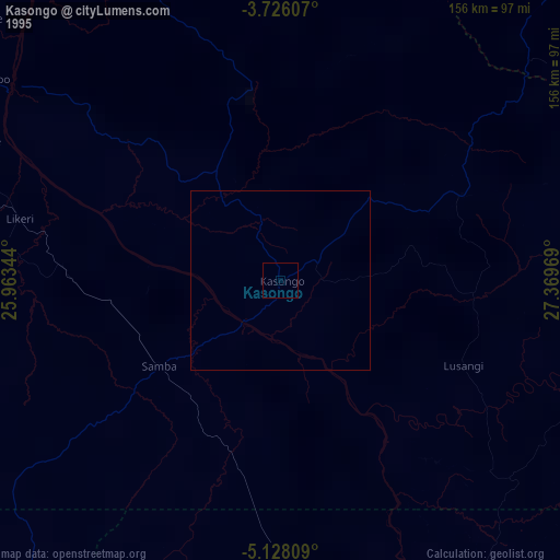
» NASA, Earths city lights 1995
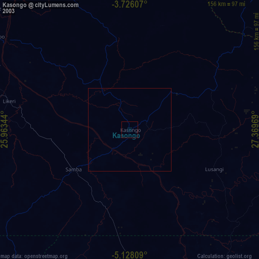
» NASA city lights 2003
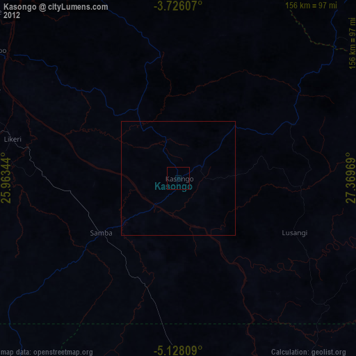
» Earth at Night: Flat Maps 2012, 2016