Kampene night lights from space
Night Light of Kampene (Maniema) from space (Democratic Republic of the Congo) Src. Average luminocity for 10x10km area is 0% and for 50x50km: 0%.

Analysis of Kampene night lights 2016
Square area 10x10 km:
 0%
0%90-99
0%80-89
0%70-79
0%60-69
0%50-59
0%40-49
0%30-39
0%20-29
0%10-19
0%0-9
100%Square area 50x50 km:
0%90-99
0%80-89
0%70-79
0%60-69
0%50-59
0%40-49
0%30-39
0%20-29
0%10-19
0%0-9
100%Clear (daylight) street map image can be seen on geolist.org.
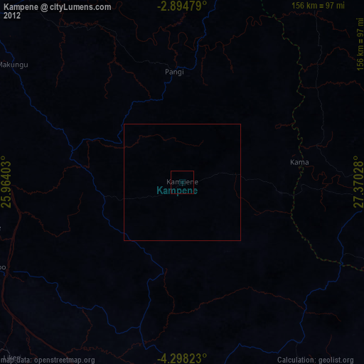
Map coordinates:
2° 53' 41.2" South, 25° 57' 50.5" East
3° 35' 48.4" South, 26° 40' 1.7" East
4° 17' 53.6" South, 27° 22' 13" East
Some cities around Kampene sort by population:
• Bukavu
271.1 km =168.5 mi,  63°
63°
• Uvira
275.1 km =170.9 mi,  85°
85°
• Kindu
110 km =68.4 mi,  311°
311°
• Kasongo
92.4 km =57.4 mi,  180°
180°
• Lubao
223.6 km =138.9 mi,  207°
207°
• Kabare
265.6 km =165 mi, 62°
• Kongolo
202.3 km =125.7 mi,  169°
169°
• Kabalo
274.4 km =170.5 mi, 174°
214575 (p: 37,034)
Sources (retrieved 2019-11-25):
» Earth at Night: Flat Maps 2012, 2016