Kabalo night lights from space
Night Light of Kabalo (Tanganyika) from space (Democratic Republic of the Congo) Src. Average luminocity for 10x10km area is 0% and for 50x50km: 0%.
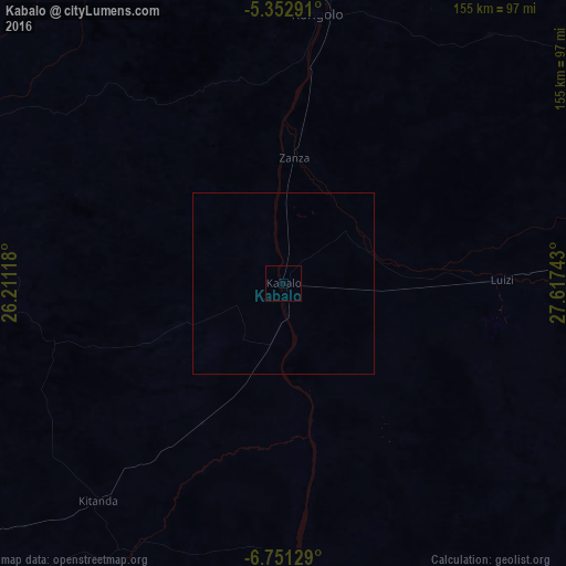

Analysis of Kabalo night lights 2016
Square area 10x10 km:
 0%
0%90-99
0%80-89
0%70-79
0%60-69
0%50-59
0%40-49
0%30-39
0%20-29
0%10-19
0%0-9
100%Square area 50x50 km:
0%90-99
0%80-89
0%70-79
0%60-69
0%50-59
0%40-49
0%30-39
0%20-29
0%10-19
0%0-9
100%Clear (daylight) street map image can be seen on geolist.org.
Map coordinates:
5° 21' 10.5" South, 26° 12' 40.2" East
6° 3' 9.2" South, 26° 54' 51.5" East
6° 45' 4.6" South, 27° 37' 2.7" East
Some cities around Kabalo sort by population:
• Kigoma, TZ
327.4 km =203.4 mi,  66°
66°
• Kalemie
252.4 km =156.8 mi,  87°
87°
• Kabinda
269.1 km =167.2 mi,  267°
267°
• Kasongo
182.8 km =113.6 mi,  351°
351°
• Lubao
148.6 km =92.3 mi,  299°
299°
• Kampene
274.4 km =170.5 mi, 354°
• Kongolo
74.8 km =46.5 mi,  7°
7°
• Mwandiga, TZ
332.7 km =206.7 mi, 65°
215668 (p: 29,833)
Sources (retrieved 2019-11-25):
» Earth at Night: Flat Maps 2012, 2016