Kindu night lights from space
Night Light of Kindu (Maniema) from space (Democratic Republic of the Congo) Src. Average luminocity for 10x10km area is 1.4351% and for 50x50km: 0.0577%.
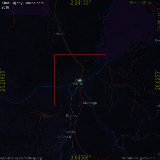

Analysis of Kindu night lights 2016
Square area 10x10 km:
 0%
0%90-99
0%80-89
0%70-79
0%60-69
0%50-59
0%40-49
1.73%30-39
1.52%20-29
0.22%10-19
0%0-9
96.54%Square area 50x50 km:
0%90-99
0%80-89
0%70-79
0%60-69
0%50-59
0%40-49
0.07%30-39
0.06%20-29
0.01%10-19
0%0-9
99.86%Clear (daylight) street map image can be seen on geolist.org.
Map coordinates:
2° 14' 28.8" South, 25° 13' 9.3" East
2° 56' 37.4" South, 25° 55' 20.5" East
3° 38' 44.5" South, 26° 37' 31.8" East
Some cities around Kindu sort by population:
• Bukavu
328.2 km =203.9 mi,  81°
81°
• Lodja
265.6 km =165 mi,  256°
256°
• Cyangugu, RW
335.4 km =208.4 mi, 81°
• Kasongo
184.5 km =114.6 mi,  153°
153°
• Lubao
272.4 km =169.3 mi,  184°
184°
• Kabare
322.4 km =200.3 mi, 81°
• Kampene
110 km =68.4 mi,  131°
131°
• Kongolo
296.6 km =184.3 mi,  156°
156°
212902 (p: 135,698)
Sources (retrieved 2019-11-25):
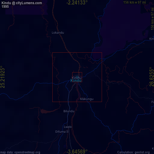
» NASA, Earths city lights 1995
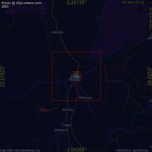
» NASA city lights 2003
» Earth at Night: Flat Maps 2012, 2016