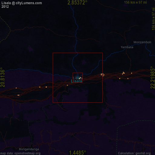
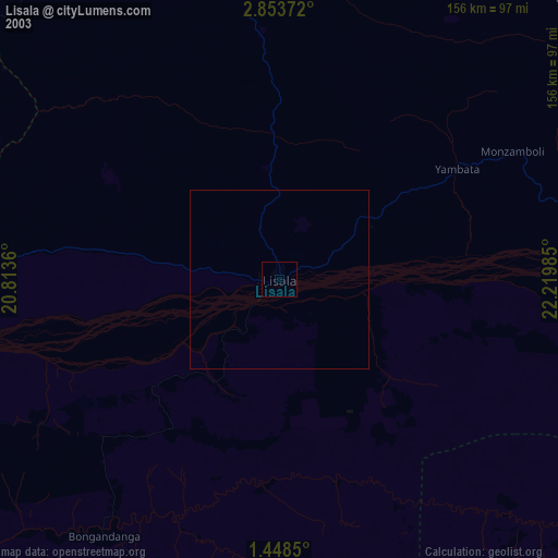
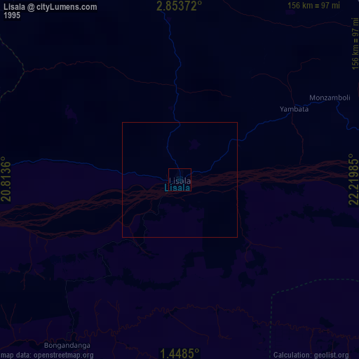
Lisala night lights from space
Night Light of Lisala (Équateur) from space (Democratic Republic of the Congo) Src. Average luminocity for 10x10km area is 0.6212% and for 50x50km: 0.0249%.
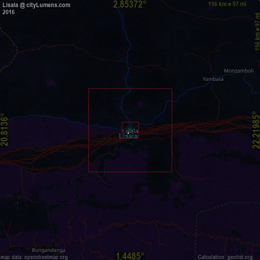
Analysis of Lisala night lights 2016
Square area 10x10 km:
 0%
0%90-99
0%80-89
0%70-79
0%60-69
0.87%50-59
0%40-49
0%30-39
0%20-29
0%10-19
0%0-9
99.13%Square area 50x50 km:
0%90-99
0%80-89
0%70-79
0%60-69
0.03%50-59
0%40-49
0%30-39
0%20-29
0%10-19
0%0-9
99.97%Clear (daylight) street map image can be seen on geolist.org.
Map coordinates:
2° 51' 13.4" North, 20° 48' 49" East
2° 9' 4.6" North, 21° 31' 0.2" East
1° 26' 54.6" North, 22° 13' 11.5" East
Some cities around Lisala sort by population:
• Gemena
229.4 km =142.5 mi,  302°
302°
• Bumba
105.8 km =65.7 mi,  87°
87°
• Gbadolite
243.4 km =151.2 mi,  346°
346°
• Basoko
254.4 km =158.1 mi,  113°
113°
• Aketi
260.1 km =161.6 mi,  75°
75°
• Businga
149.5 km =92.9 mi,  332°
332°
• Mobaye, CF
243.9 km =151.6 mi, 351°
• Kembé, CF
277.8 km =172.6 mi,  8°
8°
211734 (p: 70,087)
Sources (retrieved 2019-11-25):
» NASA, Earths city lights 1995
» NASA city lights 2003
» Earth at Night: Flat Maps 2012, 2016