Basoko night lights from space
Night Light of Basoko (Tshopo) from space (Democratic Republic of the Congo) Src. Average luminocity for 10x10km area is 0.5563% and for 50x50km: 0.0224%.
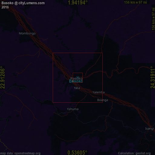
Analysis of Basoko night lights 2016
Square area 10x10 km:
 0%
0%90-99
0%80-89
0%70-79
0%60-69
0.87%50-59
0%40-49
0%30-39
0%20-29
0%10-19
0%0-9
99.13%Square area 50x50 km:
0%90-99
0%80-89
0%70-79
0%60-69
0.03%50-59
0%40-49
0%30-39
0%20-29
0%10-19
0%0-9
99.97%Clear (daylight) street map image can be seen on geolist.org.
Map coordinates:
1° 56' 31" North, 22° 54' 46.3" East
1° 14' 20.7" North, 23° 36' 57.5" East
0° 32' 9.8" North, 24° 19' 8.8" East
Some cities around Basoko sort by population:
• Kisangani
192.7 km =119.7 mi,  114°
114°
• Bumba
165.5 km =102.8 mi,  309°
309°
• Lisala
254.4 km =158.1 mi,  293°
293°
• Buta
211.9 km =131.7 mi,  35°
35°
• Yangambi
105.5 km =65.6 mi,  119°
119°
• Aketi
167.8 km =104.3 mi,  6°
6°
• Boende
348 km =216.2 mi,  240°
240°
• Bondo
286.5 km =178 mi,  1°
1°
219414 (p: 43,709)
Sources (retrieved 2019-11-25):
» Earth at Night: Flat Maps 2012, 2016