Kembé night lights from space
Night Light of Kembé (Basse-Kotto) from space (Central African Republic) Src. Average luminocity for 10x10km area is 0% and for 50x50km: 0%.
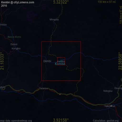
Analysis of Kembé night lights 2016
Square area 10x10 km:
 0%
0%90-99
0%80-89
0%70-79
0%60-69
0%50-59
0%40-49
0%30-39
0%20-29
0%10-19
0%0-9
100%Square area 50x50 km:
0%90-99
0%80-89
0%70-79
0%60-69
0%50-59
0%40-49
0%30-39
0%20-29
0%10-19
0%0-9
100%Clear (daylight) street map image can be seen on geolist.org.
Map coordinates:
5° 19' 23.6" North, 21° 10' 60" East
4° 37' 21.9" North, 21° 53' 11.2" East
3° 55' 17.7" North, 22° 35' 22.5" East
Some cities around Kembé sort by population:
• Gbadolite, CD
105.1 km =65.3 mi,  248°
248°
• Bambari
184.9 km =114.9 mi,  313°
313°
• Bria
213.7 km =132.8 mi,  2°
2°
• Businga, CD
180.8 km =112.3 mi,  217°
217°
• Bangassou
104.1 km =64.7 mi,  82°
82°
• Mobaye
85.4 km =53.1 mi, 246°
• Ippy
197 km =122.4 mi,  338°
338°
• Alindao
87.5 km =54.4 mi,  300°
300°
238373 (p: 11,513)
Sources (retrieved 2019-11-25):
» Earth at Night: Flat Maps 2012, 2016