Businga night lights from space
Night Light of Businga (Nord-Ubangi) from space (Democratic Republic of the Congo) Src. Average luminocity for 10x10km area is 0% and for 50x50km: 0.0104%.
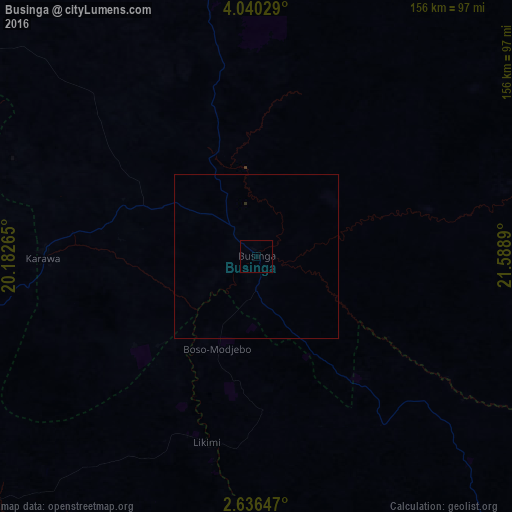

Analysis of Businga night lights 2016
Square area 10x10 km:
 0%
0%90-99
0%80-89
0%70-79
0%60-69
0%50-59
0%40-49
0%30-39
0%20-29
0%10-19
0%0-9
100%Square area 50x50 km:
0%90-99
0%80-89
0%70-79
0%60-69
0%50-59
0%40-49
0%30-39
0%20-29
0.03%10-19
0%0-9
99.97%Clear (daylight) street map image can be seen on geolist.org.
Map coordinates:
4° 2' 25" North, 20° 10' 57.5" East
3° 20' 19.1" North, 20° 53' 8.8" East
2° 38' 11.3" North, 21° 35' 20" East
Some cities around Businga sort by population:
• Gemena
123.9 km =77 mi,  265°
265°
• Lisala
149.5 km =92.9 mi,  152°
152°
• Gbadolite
105.4 km =65.5 mi,  7°
7°
• Mobaye, CF
113.7 km =70.6 mi,  16°
16°
• Bosobolo
146 km =90.7 mi,  310°
310°
• Alindao, CF
191.1 km =118.7 mi, 10°
• Kembé, CF
180.8 km =112.3 mi,  37°
37°
• Kouango, CF
210.6 km =130.9 mi,  330°
330°
217637 (p: 28,919)
Sources (retrieved 2019-11-25):
» Earth at Night: Flat Maps 2012, 2016