Bumba night lights from space
Night Light of Bumba (Mongala) from space (Democratic Republic of the Congo) Src. Average luminocity for 10x10km area is 0% and for 50x50km: 0.0267%.
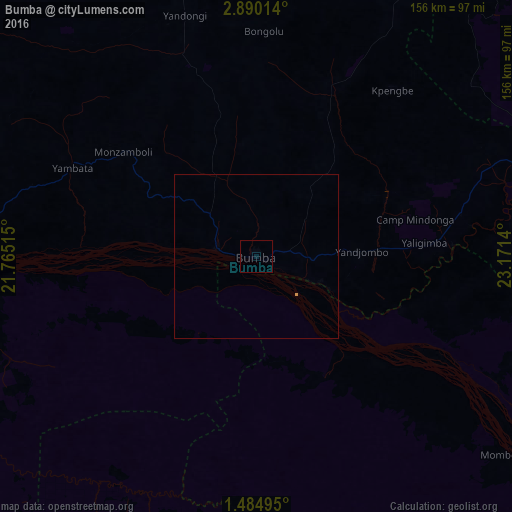
Analysis of Bumba night lights 2016
Square area 10x10 km:
 0%
0%90-99
0%80-89
0%70-79
0%60-69
0%50-59
0%40-49
0%30-39
0%20-29
0%10-19
0%0-9
100%Square area 50x50 km:
0%90-99
0%80-89
0%70-79
0.03%60-69
0%50-59
0%40-49
0%30-39
0%20-29
0%10-19
0%0-9
99.97%Clear (daylight) street map image can be seen on geolist.org.
Map coordinates:
2° 53' 24.5" North, 21° 45' 54.5" East
2° 11' 15.8" North, 22° 28' 5.8" East
1° 29' 5.8" North, 23° 10' 17" East
Some cities around Bumba sort by population:
• Lisala
105.8 km =65.7 mi,  267°
267°
• Buta
259.9 km =161.5 mi,  75°
75°
• Basoko
165.5 km =102.8 mi,  129°
129°
• Yangambi
270.1 km =167.8 mi, 125°
• Aketi
158.4 km =98.4 mi,  67°
67°
• Businga
217.4 km =135.1 mi,  306°
306°
• Mobaye, CF
276.9 km =172.1 mi,  328°
328°
• Bondo
225.9 km =140.4 mi,  36°
36°
217745 (p: 95,520)
Sources (retrieved 2019-11-25):
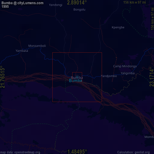
» NASA, Earths city lights 1995
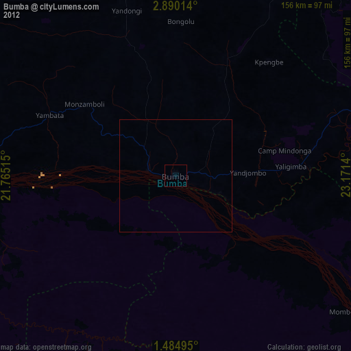
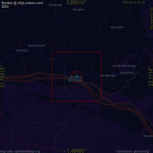
» NASA city lights 2003
» Earth at Night: Flat Maps 2012, 2016