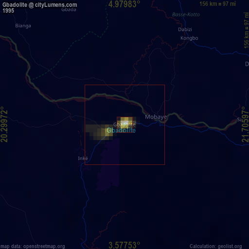
Gbadolite night lights from space
Night Light of Gbadolite (Nord-Ubangi) from space (Democratic Republic of the Congo) Src. Average luminocity for 10x10km area is 1.7035% and for 50x50km: 0.0669%.
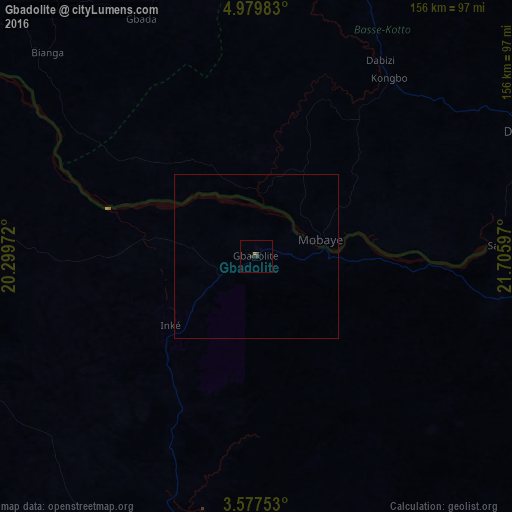
Analysis of Gbadolite night lights 2016
Square area 10x10 km:
 0%
0%90-99
0%80-89
0%70-79
0%60-69
0.87%50-59
0%40-49
0.22%30-39
1.52%20-29
1.73%10-19
0%0-9
95.67%Square area 50x50 km:
0%90-99
0%80-89
0%70-79
0%60-69
0.03%50-59
0%40-49
0.01%30-39
0.06%20-29
0.07%10-19
0%0-9
99.83%Clear (daylight) street map image can be seen on geolist.org.
Map coordinates:
4° 58' 47.4" North, 20° 17' 59" East
4° 16' 44.4" North, 21° 0' 10.2" East
3° 34' 39.1" North, 21° 42' 21.5" East
Some cities around Gbadolite sort by population:
• Gemena
177.7 km =110.4 mi,  230°
230°
• Bambari, CF
169.5 km =105.3 mi,  347°
347°
• Businga
105.4 km =65.5 mi,  187°
187°
• Mobaye, CF
20 km =12.4 mi,  77°
77°
• Bosobolo
124.5 km =77.4 mi,  265°
265°
• Alindao, CF
86.2 km =53.6 mi,  15°
15°
• Kembé, CF
105.1 km =65.3 mi,  68°
68°
• Kouango, CF
140.1 km =87.1 mi,  304°
304°
216404 (p: 50,493)
Sources (retrieved 2019-11-25):
» NASA, Earths city lights 1995
» NASA city lights 2003
» Earth at Night: Flat Maps 2012, 2016