Aketi night lights from space
Night Light of Aketi (Bas-Uele) from space (Democratic Republic of the Congo) Src. Average luminocity for 10x10km area is 0% and for 50x50km: 0%.
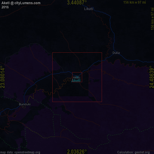

Analysis of Aketi night lights 2016
Square area 10x10 km:
 0%
0%90-99
0%80-89
0%70-79
0%60-69
0%50-59
0%40-49
0%30-39
0%20-29
0%10-19
0%0-9
100%Square area 50x50 km:
0%90-99
0%80-89
0%70-79
0%60-69
0%50-59
0%40-49
0%30-39
0%20-29
0%10-19
0%0-9
100%Clear (daylight) street map image can be seen on geolist.org.
Map coordinates:
3° 26' 27.1" North, 23° 4' 48.5" East
2° 44' 19.6" North, 23° 46' 59.7" East
2° 2' 10.5" North, 24° 29' 11" East
Some cities around Aketi sort by population:
• Kisangani
292.6 km =181.8 mi,  147°
147°
• Bumba
158.4 km =98.4 mi,  247°
247°
• Lisala
260.1 km =161.6 mi,  255°
255°
• Buta
105.3 km =65.4 mi,  87°
87°
• Basoko
167.8 km =104.3 mi,  186°
186°
• Yangambi
231 km =143.5 mi,  161°
161°
• Bangassou, CF
247.1 km =153.5 mi,  334°
334°
• Bondo
120.1 km =74.6 mi,  354°
354°
220448 (p: 35,161)
Sources (retrieved 2019-11-25):
» Earth at Night: Flat Maps 2012, 2016