Gemena night lights from space
Night Light of Gemena (Équateur) from space (Democratic Republic of the Congo) Src. Average luminocity for 10x10km area is 0% and for 50x50km: 0%.


Analysis of Gemena night lights 2016
Square area 10x10 km:
 0%
0%90-99
0%80-89
0%70-79
0%60-69
0%50-59
0%40-49
0%30-39
0%20-29
0%10-19
0%0-9
100%Square area 50x50 km:
0%90-99
0%80-89
0%70-79
0%60-69
0%50-59
0%40-49
0%30-39
0%20-29
0%10-19
0%0-9
100%Clear (daylight) street map image can be seen on geolist.org.
Map coordinates:
3° 57' 29.7" North, 19° 4' 9.2" East
3° 15' 23.4" North, 19° 46' 20.4" East
2° 33' 15.4" North, 20° 28' 31.7" East
Some cities around Gemena sort by population:
• Bangui, CF
182.6 km =113.5 mi,  312°
312°
• Bimbo, CF
187.1 km =116.3 mi, 306°
• Gbadolite
177.7 km =110.4 mi,  50°
50°
• Businga
123.9 km =77 mi,  85°
85°
• Libenge
133.6 km =83 mi,  289°
289°
• Bosobolo
104.5 km =64.9 mi,  6°
6°
• Mongoumba, CF
137.6 km =85.5 mi, 288°
• Kouango, CF
194.3 km =120.7 mi, 6°
2315728 (p: 117,639)
Sources (retrieved 2019-11-25):
» NASA, Earths city lights 1995
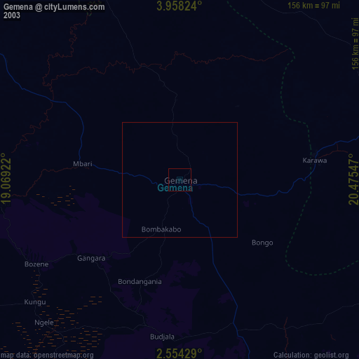
» NASA city lights 2003
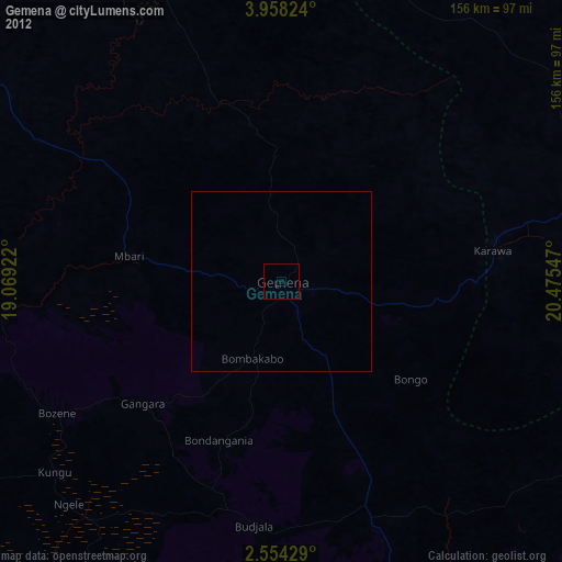
» Earth at Night: Flat Maps 2012, 2016