Mobaye night lights from space
Night Light of Mobaye (Basse-Kotto) from space (Central African Republic) Src. Average luminocity for 10x10km area is 0% and for 50x50km: 0.0669%.
Analysis of Mobaye night lights 2016
Square area 10x10 km:
 0%
0%90-99
0%80-89
0%70-79
0%60-69
0%50-59
0%40-49
0%30-39
0%20-29
0%10-19
0%0-9
100%Square area 50x50 km:
0%90-99
0%80-89
0%70-79
0%60-69
0.03%50-59
0%40-49
0.01%30-39
0.06%20-29
0.07%10-19
0%0-9
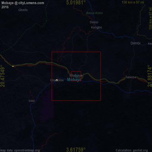
99.83%Clear (daylight) street map image can be seen on geolist.org.
Map coordinates:
5° 1' 11.3" North, 20° 28' 31.8" East
4° 19' 8.5" North, 21° 10' 43" East
3° 37' 3.3" North, 21° 52' 54.3" East
Some cities around Mobaye sort by population:
• Gbadolite, CD
20 km =12.4 mi,  257°
257°
• Bambari
170.5 km =105.9 mi,  340°
340°
• Businga, CD
113.7 km =70.6 mi,  196°
196°
• Bangassou
187.7 km =116.6 mi,  75°
75°
• Bosobolo, CD
144.3 km =89.7 mi, 264°
• Alindao
78.8 km =49 mi,  2°
2°
• Kembé
85.4 km =53.1 mi,  66°
66°
• Kouango
154.3 km =95.9 mi,  299°
299°
237478 (p: 19,431)
Sources (retrieved 2019-11-25):
» Earth at Night: Flat Maps 2012, 2016