Kolwezi night lights from space
Night Light of Kolwezi (Lualaba) from space (Democratic Republic of the Congo) Src. Average luminocity for 10x10km area is 43.7893% and for 50x50km: 4.6595%.
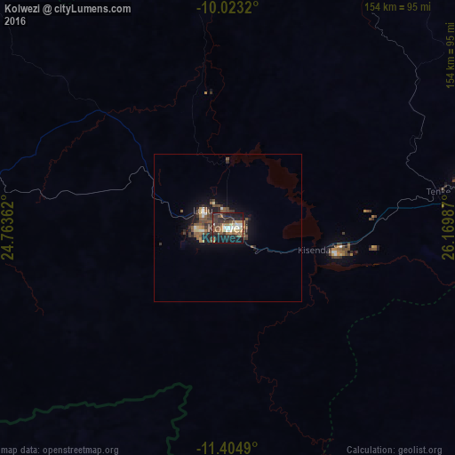
Analysis of Kolwezi night lights 2016
Square area 10x10 km:
 4.55%
4.55%90-99
6.2%80-89
5.37%70-79
4.13%60-69
11.16%50-59
7.44%40-49
4.75%30-39
11.78%20-29
18.8%10-19
25.62%0-9
0.21%Square area 50x50 km:
0.33%90-99
0.44%80-89
0.36%70-79
0.35%60-69
0.9%50-59
1.19%40-49
0.88%30-39
1.2%20-29
1.69%10-19
3.45%0-9
89.21%Clear (daylight) street map image can be seen on geolist.org.
Map coordinates:
10° 1' 23.5" South, 24° 45' 49" East
10° 42' 53.4" South, 25° 28' 0.3" East
11° 24' 17.6" South, 26° 10' 11.5" East
Some cities around Kolwezi sort by population:
• Likasi
142 km =88.2 mi,  102°
102°
• Kamina
226 km =140.4 mi,  346°
346°
• Kipushi
226.7 km =140.9 mi,  120°
120°
• Kansanshi, ZM
185.8 km =115.5 mi,  145°
145°
• Bukama
173.2 km =107.6 mi,  14°
14°
• Kambove
124.8 km =77.5 mi, 98°
• Mwinilunga, ZM
160.3 km =99.6 mi,  224°
224°
• Solwezi, ZM
190.4 km =118.3 mi, 148°
922773 (p: 418,000)
Sources (retrieved 2019-11-25):
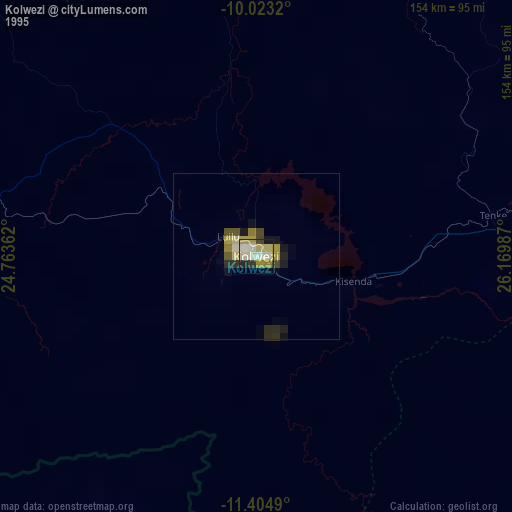
» NASA, Earths city lights 1995
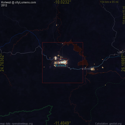
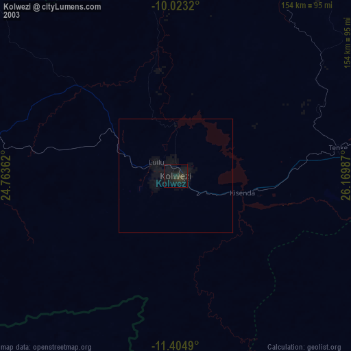
» NASA city lights 2003
» Earth at Night: Flat Maps 2012, 2016