Kigoma night lights from space
Night Light of Kigoma from space (Tanzania) Src. Average luminocity for 10x10km area is 16.9607% and for 50x50km: 0.8037%.
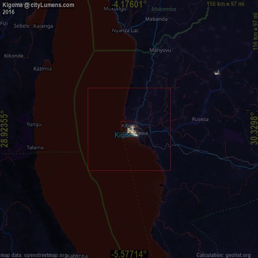

Analysis of Kigoma night lights 2016
Square area 10x10 km:
 0%
0%90-99
2.89%80-89
3.93%70-79
2.48%60-69
3.72%50-59
1.03%40-49
2.89%30-39
4.96%20-29
0.62%10-19
3.31%0-9
74.17%Square area 50x50 km:
0%90-99
0.13%80-89
0.17%70-79
0.1%60-69
0.15%50-59
0.04%40-49
0.12%30-39
0.21%20-29
0.03%10-19
0.14%0-9
98.91%Clear (daylight) street map image can be seen on geolist.org.
Map coordinates:
4° 10' 33.6" South, 28° 55' 24.8" East
4° 52' 37" South, 29° 37' 36" East
5° 34' 37.7" South, 30° 19' 47.3" East
Some cities around Kigoma sort by population:
• Kalemie, CD
128.3 km =79.7 mi,  201°
201°
• Kasulu
62.4 km =38.8 mi,  57°
57°
• Uvinza
88.3 km =54.9 mi,  106°
106°
• Rutana, BI
113 km =70.2 mi,  20°
20°
• Bururi, BI
103.2 km =64.1 mi,  359°
359°
• Makamba, BI
84.8 km =52.7 mi,  13°
13°
• Mwandiga
6.3 km =3.9 mi,  33°
33°
• Rumonge, BI
102.6 km =63.8 mi,  348°
348°
157738 (p: 164,268)
Sources (retrieved 2019-11-25):
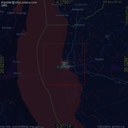
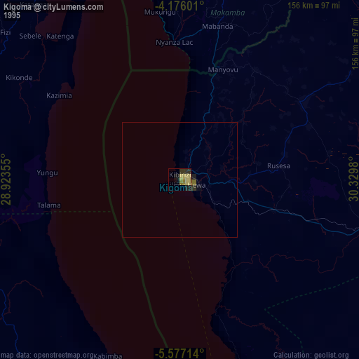
» NASA, Earths city lights 1995
» NASA city lights 2003
» Earth at Night: Flat Maps 2012, 2016