Kalemie night lights from space
Night Light of Kalemie (Tanganyika) from space (Democratic Republic of the Congo) Src. Average luminocity for 10x10km area is 3.4339% and for 50x50km: 0.162%.
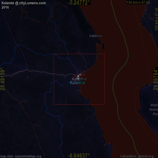
Analysis of Kalemie night lights 2016
Square area 10x10 km:
 0%
0%90-99
0%80-89
0%70-79
0%60-69
0.41%50-59
1.65%40-49
1.24%30-39
2.07%20-29
2.48%10-19
0.83%0-9
91.32%Square area 50x50 km:
0%90-99
0%80-89
0%70-79
0%60-69
0.02%50-59
0.07%40-49
0.05%30-39
0.1%20-29
0.14%10-19
0.03%0-9
99.59%Clear (daylight) street map image can be seen on geolist.org.
Map coordinates:
5° 14' 51.8" South, 28° 29' 29.7" East
5° 56' 51" South, 29° 11' 41" East
6° 38' 46.9" South, 29° 53' 52.2" East
Some cities around Kalemie sort by population:
• Kigoma, TZ
128.3 km =79.7 mi,  21°
21°
• Mpanda, TZ
211.9 km =131.7 mi,  102°
102°
• Kasulu, TZ
182.6 km =113.5 mi,  33°
33°
• Uvinza, TZ
162.3 km =100.8 mi,  54°
54°
• Makamba, BI
212.5 km =132 mi, 18°
• Mwandiga, TZ
134.4 km =83.5 mi, 22°
• Karema, TZ
168.3 km =104.6 mi,  125°
125°
• Rumonge, BI
221.1 km =137.4 mi,  7°
7°
214974 (p: 146,974)
Sources (retrieved 2019-11-25):
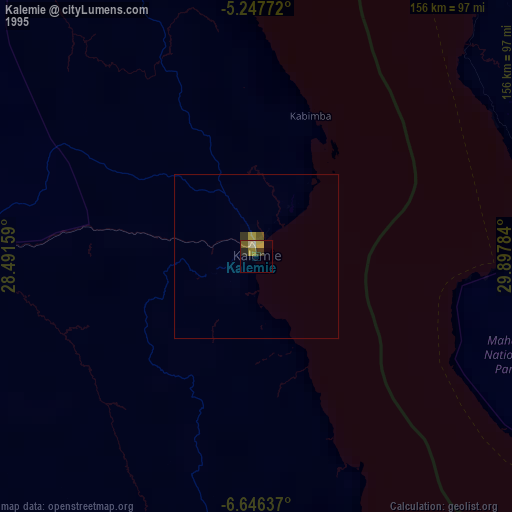
» NASA, Earths city lights 1995
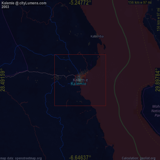
» NASA city lights 2003
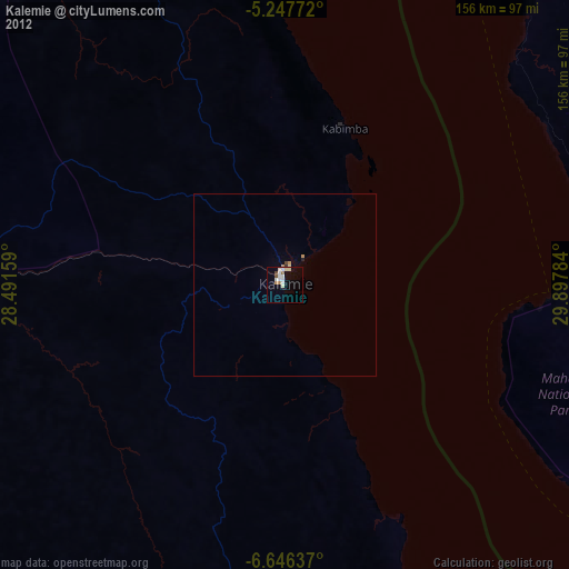
» Earth at Night: Flat Maps 2012, 2016