Mwinilunga night lights from space
Night Light of Mwinilunga (North-Western) from space (Zambia) Src. Average luminocity for 10x10km area is 0.5227% and for 50x50km: 0.0213%.
Analysis of Mwinilunga night lights 2016
Square area 10x10 km:
 0%
0%90-99
0%80-89
0%70-79
0%60-69
0%50-59
0%40-49
0%30-39
0.62%20-29
1.03%10-19
0%0-9
98.35%Square area 50x50 km:
0%90-99
0%80-89
0%70-79
0%60-69
0%50-59
0%40-49
0%30-39
0.03%20-29
0.04%10-19
0%0-9
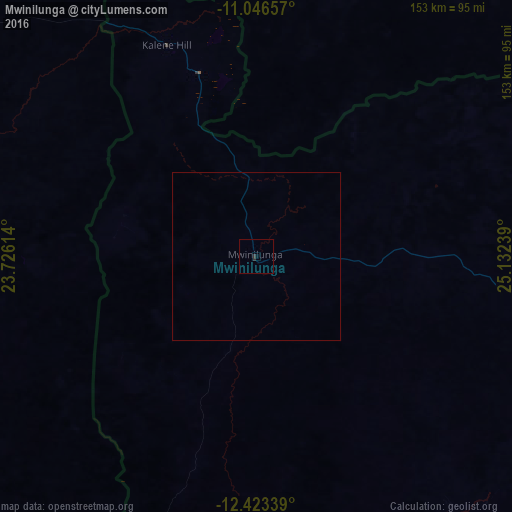
99.93%Clear (daylight) street map image can be seen on geolist.org.
Map coordinates:
11° 2' 47.7" South, 23° 43' 34.1" East
11° 44' 9" South, 24° 25' 45.3" East
12° 25' 24.2" South, 25° 7' 56.6" East
Some cities around Mwinilunga sort by population:
• Kolwezi, CD
160.3 km =99.6 mi,  44°
44°
• Kansanshi
221 km =137.3 mi,  100°
100°
• Kalengwa
202.2 km =125.6 mi,  162°
162°
• Zambezi
247.1 km =153.5 mi,  215°
215°
• Kabompo
207.9 km =129.2 mi,  186°
186°
• Mufumbwe
220.2 km =136.8 mi,  169°
169°
• Kasempa
244.8 km =152.1 mi,  141°
141°
• Solwezi
218.6 km =135.8 mi, 102°
902620 (p: 13,798)
Sources (retrieved 2019-11-25):
» Earth at Night: Flat Maps 2012, 2016