Bukama night lights from space
Night Light of Bukama (Haut-Lomami) from space (Democratic Republic of the Congo) Src. Average luminocity for 10x10km area is 0% and for 50x50km: 0.013%.

Analysis of Bukama night lights 2016
Square area 10x10 km:
 0%
0%90-99
0%80-89
0%70-79
0%60-69
0%50-59
0%40-49
0%30-39
0%20-29
0%10-19
0%0-9
100%Square area 50x50 km:
0%90-99
0%80-89
0%70-79
0%60-69
0%50-59
0.02%40-49
0%30-39
0%20-29
0%10-19
0%0-9
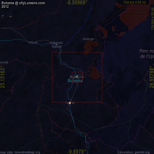
99.98%Clear (daylight) street map image can be seen on geolist.org.
Map coordinates:
8° 30' 34.9" South, 25° 9' 5.9" East
9° 12' 15.9" South, 25° 51' 17.1" East
9° 53' 52.1" South, 26° 33' 28.4" East
Some cities around Bukama sort by population:
• Lubumbashi
325.8 km =202.4 mi,  146°
146°
• Likasi
220.1 km =136.8 mi, 153°
• Kolwezi
173.2 km =107.6 mi,  194°
194°
• Kamina
107.6 km =66.9 mi,  299°
299°
• Kipushi
322.7 km =200.5 mi, 151°
• Kambove
202.6 km =125.9 mi,  156°
156°
• Nchelenge, ZM
316.3 km =196.5 mi,  92°
92°
• Mwinilunga, ZM
321.7 km =199.9 mi,  208°
208°
217834 (p: 38,770)
Sources (retrieved 2019-11-25):
» Earth at Night: Flat Maps 2012, 2016