Cyangugu night lights from space
Night Light of Cyangugu (Western Province) from space (Rwanda) Src. Average luminocity for 10x10km area is 16.2857% and for 50x50km: 1.2161%.
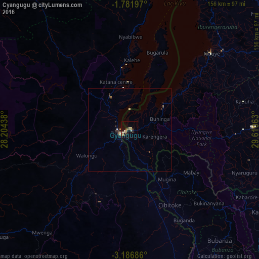
Analysis of Cyangugu night lights 2016
Square area 10x10 km:
 0.65%
0.65%90-99
2.6%80-89
1.08%70-79
3.68%60-69
3.03%50-59
2.81%40-49
1.3%30-39
3.9%20-29
0.87%10-19
9.09%0-9
71%Square area 50x50 km:
0.05%90-99
0.14%80-89
0.12%70-79
0.15%60-69
0.2%50-59
0.29%40-49
0.08%30-39
0.43%20-29
0.2%10-19
0.49%0-9
97.85%Clear (daylight) street map image can be seen on geolist.org.
Map coordinates:
1° 46' 55.1" South, 28° 12' 15.8" East
2° 29' 4.6" South, 28° 54' 27" East
3° 11' 12.7" South, 29° 36' 38.3" East
Some cities around Cyangugu sort by population:
• Bukavu, CD
7.2 km =4.5 mi,  264°
264°
• Butare
93.2 km =57.9 mi,  97°
97°
• Kibuye
68 km =42.3 mi,  46°
46°
• Kabare, CD
13 km =8.1 mi, 264°
• Nzega
72.1 km =44.8 mi,  89°
89°
• Kayanza, BI
93.8 km =58.3 mi,  121°
121°
• Cibitoke, BI
50.8 km =31.6 mi,  151°
151°
• Bubanza, BI
85.3 km =53 mi,  140°
140°
202326 (p: 63,883)
Sources (retrieved 2019-11-25):
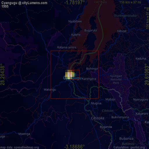
» NASA, Earths city lights 1995
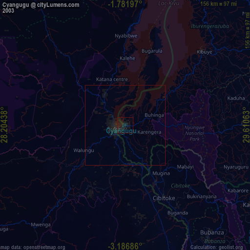
» NASA city lights 2003
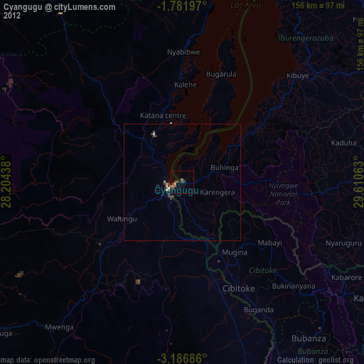
» Earth at Night: Flat Maps 2012, 2016