Bukavu night lights from space
Night Light of Bukavu (South Kivu) from space (Democratic Republic of the Congo) Src. Average luminocity for 10x10km area is 16.1818% and for 50x50km: 1.1697%.
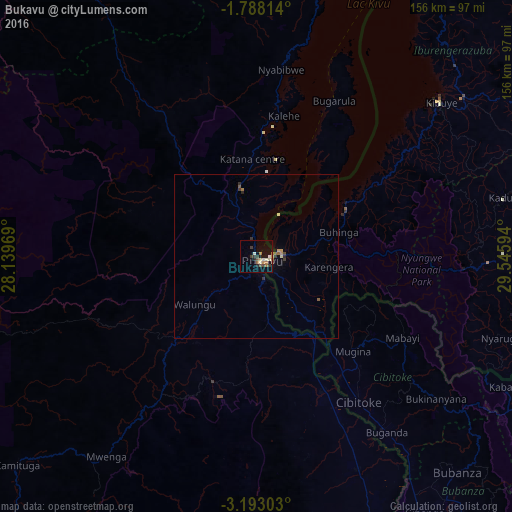
Analysis of Bukavu night lights 2016
Square area 10x10 km:
 1.3%
1.3%90-99
2.81%80-89
1.95%70-79
1.3%60-69
2.81%50-59
2.81%40-49
1.08%30-39
4.98%20-29
1.73%10-19
8.23%0-9
71%Square area 50x50 km:
0.05%90-99
0.14%80-89
0.12%70-79
0.15%60-69
0.2%50-59
0.26%40-49
0.08%30-39
0.4%20-29
0.16%10-19
0.46%0-9
97.98%Clear (daylight) street map image can be seen on geolist.org.
Map coordinates:
1° 47' 17.3" South, 28° 8' 22.9" East
2° 29' 26.8" South, 28° 50' 34.1" East
3° 11' 34.9" South, 29° 32' 45.4" East
Some cities around Bukavu sort by population:
• Gisenyi, RW
98.9 km =61.5 mi,  27°
27°
• Cyangugu, RW
7.2 km =4.5 mi,  84°
84°
• Kibuye, RW
73.7 km =45.8 mi,  49°
49°
• Kabare
5.8 km =3.6 mi,  263°
263°
• Nzega, RW
79.3 km =49.3 mi,  89°
89°
• Kayanza, BI
99.7 km =62 mi,  118°
118°
• Cibitoke, BI
54 km =33.6 mi,  144°
144°
• Bubanza, BI
89.5 km =55.6 mi, 137°
217831 (p: 225,389)
Sources (retrieved 2019-11-25):
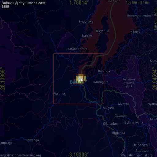
» NASA, Earths city lights 1995
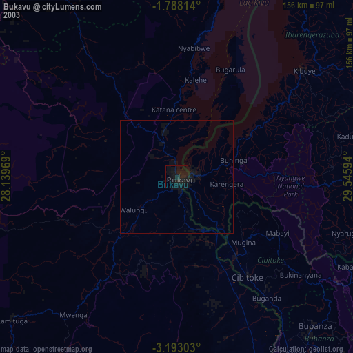
» NASA city lights 2003
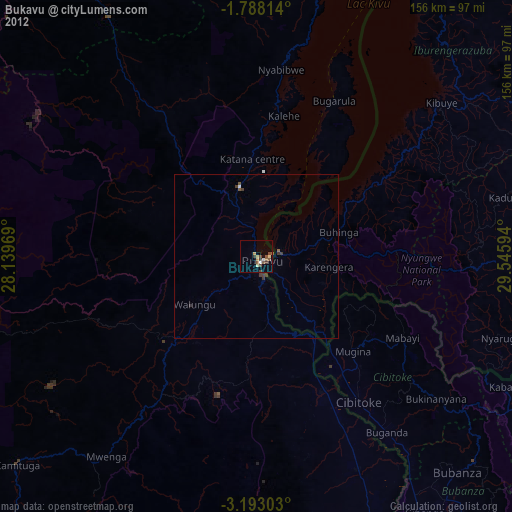
» Earth at Night: Flat Maps 2012, 2016