Kabare night lights from space
Night Light of Kabare (South Kivu) from space (Democratic Republic of the Congo) Src. Average luminocity for 10x10km area is 1.5433% and for 50x50km: 1.1589%.
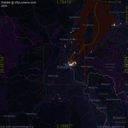
Analysis of Kabare night lights 2016
Square area 10x10 km:
 0%
0%90-99
0%80-89
0%70-79
0%60-69
0%50-59
0%40-49
0.22%30-39
1.52%20-29
0%10-19
0.87%0-9
97.4%Square area 50x50 km:
0.05%90-99
0.14%80-89
0.12%70-79
0.15%60-69
0.2%50-59
0.24%40-49
0.08%30-39
0.4%20-29
0.16%10-19
0.46%0-9
98%Clear (daylight) street map image can be seen on geolist.org.
Map coordinates:
1° 47' 39.1" South, 28° 5' 15.7" East
2° 29' 48.6" South, 28° 47' 26.9" East
3° 11' 56.7" South, 29° 29' 38.2" East
Some cities around Kabare sort by population:
• Bukavu
5.8 km =3.6 mi,  83°
83°
• Goma
103.6 km =64.4 mi,  27°
27°
• Gisenyi, RW
102.3 km =63.6 mi, 30°
• Cyangugu, RW
13 km =8.1 mi, 84°
• Kibuye, RW
78.6 km =48.8 mi,  51°
51°
• Nzega, RW
85.1 km =52.9 mi,  88°
88°
• Cibitoke, BI
57.1 km =35.5 mi,  139°
139°
• Bubanza, BI
93 km =57.8 mi,  134°
134°
215605 (p: 37,034)
Sources (retrieved 2019-11-25):
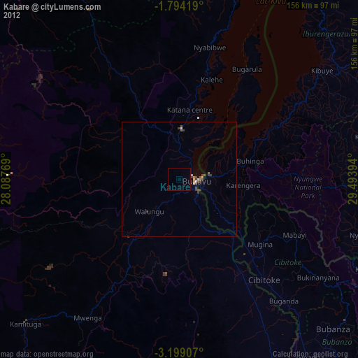
» Earth at Night: Flat Maps 2012, 2016