Kikwit night lights from space
Night Light of Kikwit (Kwilu) from space (Democratic Republic of the Congo) Src. Average luminocity for 10x10km area is 0% and for 50x50km: 0%.
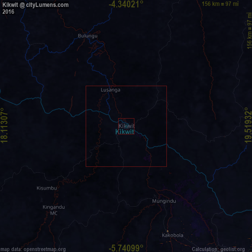

Analysis of Kikwit night lights 2016
Square area 10x10 km:
 0%
0%90-99
0%80-89
0%70-79
0%60-69
0%50-59
0%40-49
0%30-39
0%20-29
0%10-19
0%0-9
100%Square area 50x50 km:
0%90-99
0%80-89
0%70-79
0%60-69
0%50-59
0%40-49
0%30-39
0%20-29
0%10-19
0%0-9
100%Clear (daylight) street map image can be seen on geolist.org.
Map coordinates:
4° 20' 24.8" South, 18° 6' 47.1" East
5° 2' 27.5" South, 18° 48' 58.3" East
5° 44' 27.6" South, 19° 31' 9.6" East
Some cities around Kikwit sort by population:
• Tshikapa
267.5 km =166.2 mi,  124°
124°
• Bandundu
249.2 km =154.8 mi,  320°
320°
• Ilebo
211.5 km =131.4 mi,  68°
68°
• Bulungu
60 km =37.3 mi,  336°
336°
• Nioki
286.7 km =178.1 mi,  334°
334°
• Mangai
138.3 km =85.9 mi,  35°
35°
• Luebo
290.6 km =180.6 mi,  96°
96°
• Kasongo-Lunda
272.8 km =169.5 mi,  234°
234°
2314705 (p: 186,991)
Sources (retrieved 2019-11-25):
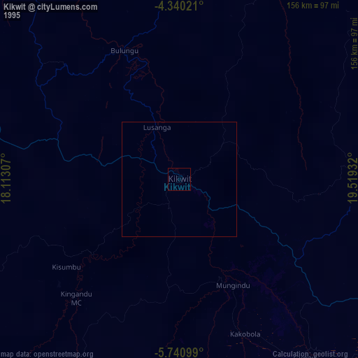
» NASA, Earths city lights 1995
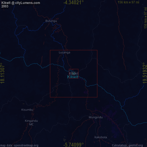
» NASA city lights 2003
» Earth at Night: Flat Maps 2012, 2016