Bulungu night lights from space
Night Light of Bulungu (Kwilu) from space (Democratic Republic of the Congo) Src. Average luminocity for 10x10km area is 0% and for 50x50km: 0%.
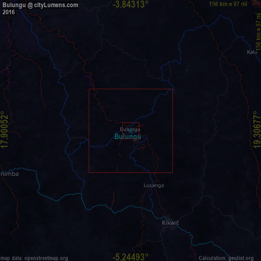

Analysis of Bulungu night lights 2016
Square area 10x10 km:
 0%
0%90-99
0%80-89
0%70-79
0%60-69
0%50-59
0%40-49
0%30-39
0%20-29
0%10-19
0%0-9
100%Square area 50x50 km:
0%90-99
0%80-89
0%70-79
0%60-69
0%50-59
0%40-49
0%30-39
0%20-29
0%10-19
0%0-9
100%Clear (daylight) street map image can be seen on geolist.org.
Map coordinates:
3° 50' 35.3" South, 17° 54' 1.9" East
4° 32' 39.7" South, 18° 36' 13.1" East
5° 14' 41.7" South, 19° 18' 24.4" East
Some cities around Bulungu sort by population:
• Kikwit
60 km =37.3 mi,  156°
156°
• Bandundu
192.4 km =119.6 mi,  315°
315°
• Ilebo
221.1 km =137.4 mi,  83°
83°
• Nioki
226.7 km =140.9 mi,  333°
333°
• Inongo
293.1 km =182.1 mi,  353°
353°
• Mangai
118.3 km =73.5 mi,  60°
60°
• Mushie
252.2 km =156.7 mi,  312°
312°
• Kasongo-Lunda
292.1 km =181.5 mi,  222°
222°
2316259 (p: 48,344)
Sources (retrieved 2019-11-25):
» Earth at Night: Flat Maps 2012, 2016