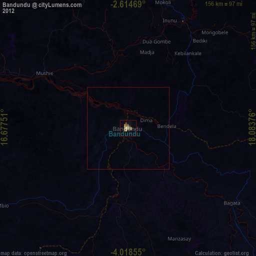
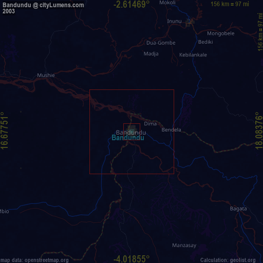
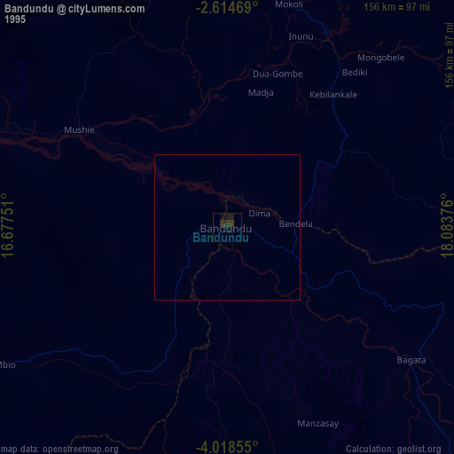
Bandundu night lights from space
Night Light of Bandundu (Kwilu) from space (Democratic Republic of the Congo) Src. Average luminocity for 10x10km area is 16.6537% and for 50x50km: 0.7173%.

Analysis of Bandundu night lights 2016
Square area 10x10 km:
 0%
0%90-99
0%80-89
0%70-79
6.93%60-69
7.79%50-59
1.08%40-49
4.11%30-39
0.87%20-29
1.52%10-19
2.81%0-9
74.89%Square area 50x50 km:
0%90-99
0%80-89
0%70-79
0.28%60-69
0.31%50-59
0.04%40-49
0.16%30-39
0.03%20-29
0.1%10-19
0.11%0-9
98.96%Clear (daylight) street map image can be seen on geolist.org.
Map coordinates:
2° 36' 52.9" South, 16° 40' 39" East
3° 19' 0.7" South, 17° 22' 50.3" East
4° 1' 6.8" South, 18° 5' 1.5" East
Some cities around Bandundu sort by population:
• Masina
250.5 km =155.7 mi,  241°
241°
• Kikwit
249.2 km =154.8 mi,  140°
140°
• Bulungu
192.4 km =119.6 mi, 135°
• Nioki
74.7 km =46.4 mi,  27°
27°
• Inongo
184.5 km =114.6 mi, 33°
• Mushie
60.8 km =37.8 mi,  303°
303°
• Bolobo
181.3 km =112.7 mi,  315°
315°
• Gamboma, CG
232.4 km =144.4 mi,  313°
313°
2317397 (p: 118,211)
Sources (retrieved 2019-11-25):
» NASA, Earths city lights 1995
» NASA city lights 2003
» Earth at Night: Flat Maps 2012, 2016