Nioki night lights from space
Night Light of Nioki (Mai-Ndombe) from space (Democratic Republic of the Congo) Src. Average luminocity for 10x10km area is 0% and for 50x50km: 0%.
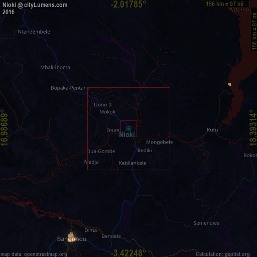
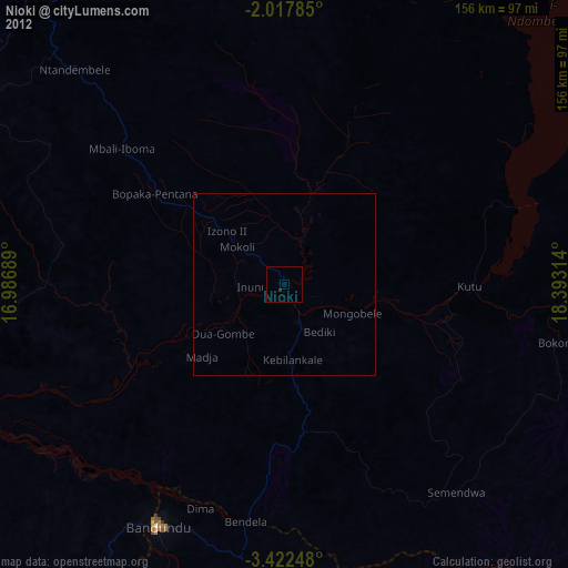
Analysis of Nioki night lights 2016
Square area 10x10 km:
 0%
0%90-99
0%80-89
0%70-79
0%60-69
0%50-59
0%40-49
0%30-39
0%20-29
0%10-19
0%0-9
100%Square area 50x50 km:
0%90-99
0%80-89
0%70-79
0%60-69
0%50-59
0%40-49
0%30-39
0%20-29
0%10-19
0%0-9
100%Clear (daylight) street map image can be seen on geolist.org.
Map coordinates:
2° 1' 4.3" South, 16° 59' 12.8" East
2° 43' 13.3" South, 17° 41' 24" East
3° 25' 20.9" South, 18° 23' 35.3" East
Some cities around Nioki sort by population:
• Bandundu
74.7 km =46.4 mi,  207°
207°
• Bulungu
226.7 km =140.9 mi,  153°
153°
• Inongo
110.4 km =68.6 mi,  37°
37°
• Mangai
250.7 km =155.8 mi,  125°
125°
• Mushie
91.4 km =56.8 mi,  248°
248°
• Bolobo
173.6 km =107.9 mi,  291°
291°
• Gamboma, CG
223.5 km =138.9 mi, 294°
• Lukolela
193 km =119.9 mi,  342°
342°
2311968 (p: 40,695)
Sources (retrieved 2019-11-25):
» Earth at Night: Flat Maps 2012, 2016