Kasongo-Lunda night lights from space
Night Light of Kasongo-Lunda (Kwango) from space (Democratic Republic of the Congo) Src. Average luminocity for 10x10km area is 0% and for 50x50km: 0%.
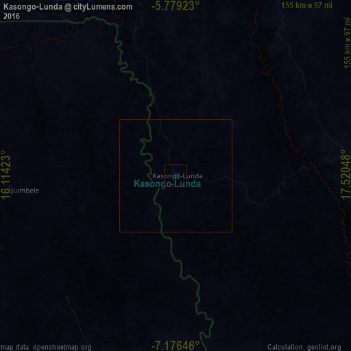

Analysis of Kasongo-Lunda night lights 2016
Square area 10x10 km:
 0%
0%90-99
0%80-89
0%70-79
0%60-69
0%50-59
0%40-49
0%30-39
0%20-29
0%10-19
0%0-9
100%Square area 50x50 km:
0%90-99
0%80-89
0%70-79
0%60-69
0%50-59
0%40-49
0%30-39
0%20-29
0%10-19
0%0-9
100%Clear (daylight) street map image can be seen on geolist.org.
Map coordinates:
5° 46' 45.2" South, 16° 6' 51.2" East
6° 28' 42" South, 16° 49' 2.5" East
7° 10' 35.3" South, 17° 31' 13.7" East
Some cities around Kasongo-Lunda sort by population:
• Kinshasa
291.4 km =181.1 mi,  325°
325°
• Masina
281.4 km =174.9 mi, 325°
• Kikwit
272.8 km =169.5 mi,  54°
54°
• Mbanza-Ngungu
255.6 km =158.8 mi,  302°
302°
• Uíge, AO
231 km =143.5 mi,  237°
237°
• Kasangulu
279 km =173.4 mi,  319°
319°
• Mbanza Congo, AO
285.8 km =177.6 mi,  274°
274°
• Camabatela, AO
247.9 km =154 mi,  219°
219°
2315026 (p: 20,060)
Sources (retrieved 2019-11-25):
» Earth at Night: Flat Maps 2012, 2016