Mwandiga night lights from space
Night Light of Mwandiga (Kigoma) from space (Tanzania) Src. Average luminocity for 10x10km area is 4.469% and for 50x50km: 0.8037%.
Analysis of Mwandiga night lights 2016
Square area 10x10 km:
 0%
0%90-99
0.21%80-89
1.03%70-79
0%60-69
1.24%50-59
0%40-49
0.62%30-39
1.86%20-29
0%10-19
1.24%0-9
93.8%Square area 50x50 km:
0%90-99
0.13%80-89
0.17%70-79
0.1%60-69
0.15%50-59
0.04%40-49
0.12%30-39
0.21%20-29
0.03%10-19
0.14%0-9
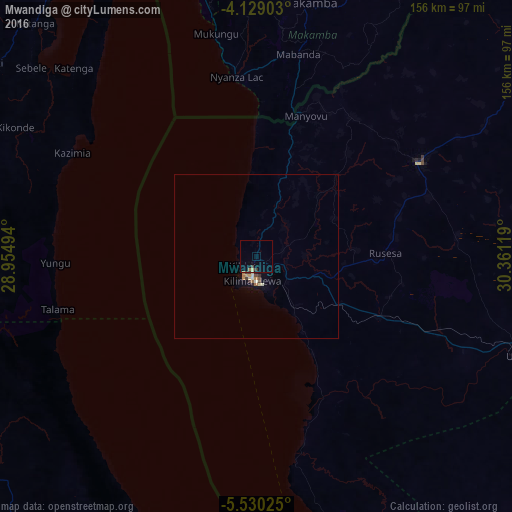
98.91%Clear (daylight) street map image can be seen on geolist.org.
Map coordinates:
4° 7' 44.5" South, 28° 57' 17.8" East
4° 49' 48" South, 29° 39' 29" East
5° 31' 48.9" South, 30° 21' 40.3" East
Some cities around Mwandiga sort by population:
• Kigoma
6.3 km =3.9 mi,  213°
213°
• Kalemie, CD
134.4 km =83.5 mi,  202°
202°
• Kasulu
56.7 km =35.2 mi,  60°
60°
• Uvinza
86.7 km =53.9 mi,  110°
110°
• Rutana, BI
106.9 km =66.4 mi,  20°
20°
• Bururi, BI
98.1 km =61 mi,  357°
357°
• Makamba, BI
79 km =49.1 mi,  11°
11°
• Rumonge, BI
98.3 km =61.1 mi,  345°
345°
153709 (p: 16,822)
Sources (retrieved 2019-11-25):
» Earth at Night: Flat Maps 2012, 2016