North Bay night lights from space
Night Light of North Bay (Ontario) from space (Canada) Src. Average luminocity for 10x10km area is 36.8244% and for 50x50km: 2.1655%.
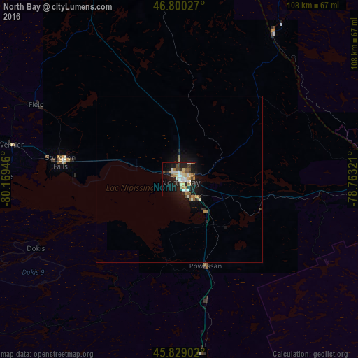
Analysis of North Bay night lights 2016
Square area 10x10 km:
 5.36%
5.36%90-99
8.33%80-89
6.25%70-79
4.02%60-69
3.13%50-59
2.53%40-49
6.1%30-39
3.57%20-29
11.16%10-19
28.87%0-9
20.68%Square area 50x50 km:
0.22%90-99
0.43%80-89
0.26%70-79
0.28%60-69
0.23%50-59
0.14%40-49
0.31%30-39
0.28%20-29
0.51%10-19
2.13%0-9
95.21%Clear (daylight) street map image can be seen on geolist.org.
Map coordinates:
46° 48' 1" North, 80° 10' 10.1" West
46° 19' 0.5" North, 79° 27' 58.8" West
45° 49' 44.5" North, 78° 45' 47.6" West
Some cities around North Bay sort by population:
• Greater Sudbury
118.4 km =73.6 mi,  279°
279°
• Huntsville
111 km =69 mi,  169°
169°
• Valley East
123.7 km =76.9 mi,  288°
288°
• Rayside-Balfour
137.3 km =85.3 mi, 283°
• Temiskaming Shores
132.2 km =82.1 mi,  351°
351°
• Bracebridge
143.2 km =89 mi,  175°
175°
• Parry Sound
116.5 km =72.4 mi,  202°
202°
• Lively
129.8 km =80.7 mi, 275°
6089426 (p: 50,396)
Sources (retrieved 2019-11-25):
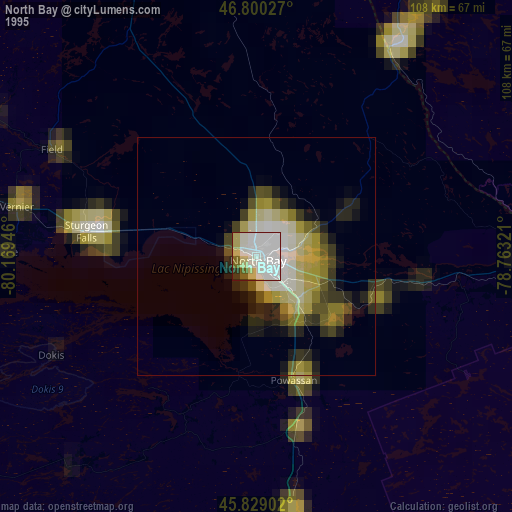
» NASA, Earths city lights 1995
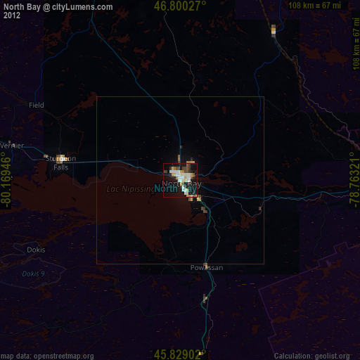
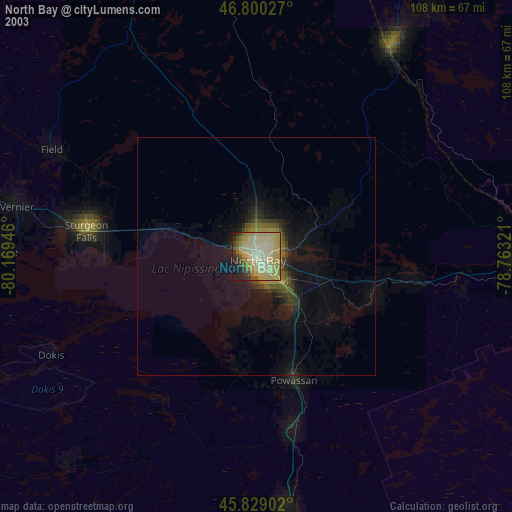
» NASA city lights 2003
» Earth at Night: Flat Maps 2012, 2016