Parry Sound night lights from space
Night Light of Parry Sound (Ontario) from space (Canada) Src. Average luminocity for 10x10km area is 9.9286% and for 50x50km: 0.4656%.
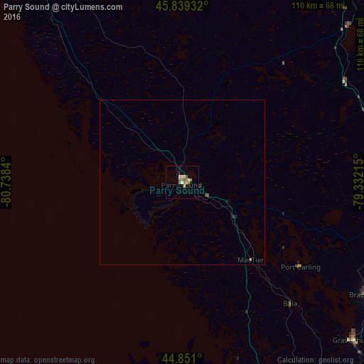
Analysis of Parry Sound night lights 2016
Square area 10x10 km:
 0.16%
0.16%90-99
1.75%80-89
2.38%70-79
1.11%60-69
2.86%50-59
0.79%40-49
1.11%30-39
0%20-29
0.63%10-19
0.95%0-9
88.25%Square area 50x50 km:
0.01%90-99
0.07%80-89
0.09%70-79
0.07%60-69
0.11%50-59
0.05%40-49
0.05%30-39
0.02%20-29
0.07%10-19
0.08%0-9
99.38%Clear (daylight) street map image can be seen on geolist.org.
Map coordinates:
45° 50' 21.6" North, 80° 44' 18.2" West
45° 20' 50.4" North, 80° 2' 7" West
44° 51' 3.6" North, 79° 19' 55.7" West
Some cities around Parry Sound sort by population:
• Barrie
109.3 km =67.9 mi,  164°
164°
• Orillia
95.3 km =59.2 mi,  149°
149°
• Midland
67.5 km =41.9 mi,  169°
169°
• Huntsville
64 km =39.8 mi,  91°
91°
• Collingwood
97.1 km =60.3 mi,  188°
188°
• Bracebridge
66.3 km =41.2 mi,  121°
121°
• Wasaga Beach
92.4 km =57.4 mi,  179°
179°
• Gravenhurst
71 km =44.1 mi,  132°
132°
6098747 (p: 6,321)
Sources (retrieved 2019-11-25):
» Earth at Night: Flat Maps 2012, 2016