Temiskaming Shores night lights from space
Night Light of Temiskaming Shores (Ontario) from space (Canada) Src. Average luminocity for 10x10km area is 6.7315% and for 50x50km: 0.7073%.
Analysis of Temiskaming Shores night lights 2016
Square area 10x10 km:
 0.85%
0.85%90-99
1.14%80-89
0.57%70-79
0.85%60-69
0.57%50-59
1.14%40-49
0.85%30-39
1.7%20-29
1.56%10-19
0.85%0-9
89.91%Square area 50x50 km:
0.06%90-99
0.12%80-89
0.04%70-79
0.08%60-69
0.09%50-59
0.07%40-49
0.08%30-39
0.23%20-29
0.38%10-19
0.08%0-9
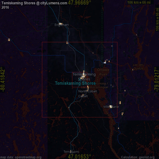
98.77%Clear (daylight) street map image can be seen on geolist.org.
Map coordinates:
47° 58' 0.1" North, 80° 25' 6.3" West
47° 29' 37.5" North, 79° 42' 55" West
47° 0' 59.5" North, 79° 0' 43.8" West
Some cities around Temiskaming Shores sort by population:
• Greater Sudbury
147.7 km =91.8 mi,  220°
220°
• North Bay
132.2 km =82.1 mi,  171°
171°
• Val-d'Or
158.2 km =98.3 mi,  64°
64°
• Rouyn-Noranda
97.4 km =60.5 mi,  32°
32°
• Valley East
133.8 km =83.1 mi,  226°
226°
• Rayside-Balfour
149.9 km =93.1 mi, 228°
• Kirkland Lake
76.3 km =47.4 mi,  341°
341°
• La Sarre
150.2 km =93.3 mi,  14°
14°
6162659 (p: 10,442)
Sources (retrieved 2019-11-25):
» Earth at Night: Flat Maps 2012, 2016