Huntsville night lights from space
Night Light of Huntsville (Ontario) from space (Canada) Src. Average luminocity for 10x10km area is 9.8667% and for 50x50km: 0.4681%.
Analysis of Huntsville night lights 2016
Square area 10x10 km:
 0%
0%90-99
0.16%80-89
1.43%70-79
2.54%60-69
1.75%50-59
2.7%40-49
3.17%30-39
0.48%20-29
2.06%10-19
0.32%0-9
85.4%Square area 50x50 km:
0%90-99
0.01%80-89
0.05%70-79
0.12%60-69
0.07%50-59
0.13%40-49
0.17%30-39
0.04%20-29
0.13%10-19
0.01%0-9
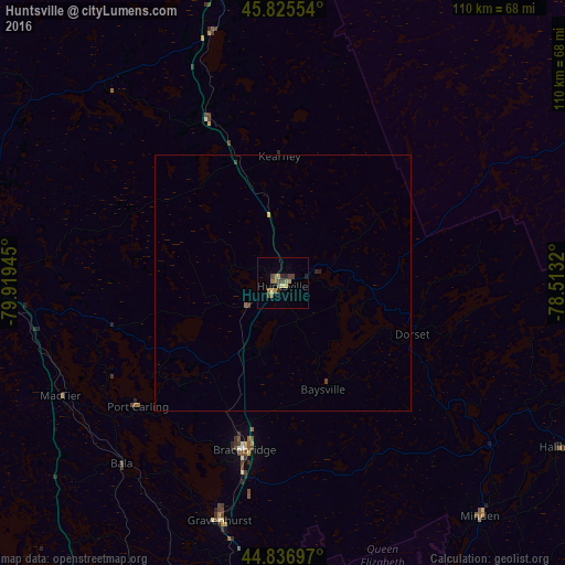
99.27%Clear (daylight) street map image can be seen on geolist.org.
Map coordinates:
45° 49' 31.9" North, 79° 55' 10" West
45° 20' 0.3" North, 79° 12' 58.8" West
44° 50' 13.1" North, 78° 30' 47.5" West
Some cities around Huntsville sort by population:
• Barrie
109.7 km =68.2 mi,  198°
198°
• North Bay
111 km =69 mi,  349°
349°
• Orillia
82.2 km =51.1 mi,  191°
191°
• Midland
83.4 km =51.8 mi,  218°
218°
• Bracebridge
34.3 km =21.3 mi, 193°
• Wasaga Beach
110.5 km =68.7 mi,  214°
214°
• Parry Sound
64 km =39.8 mi,  271°
271°
• Gravenhurst
47.8 km =29.7 mi, 194°
5978765 (p: 19,579)
Sources (retrieved 2019-11-25):
» Earth at Night: Flat Maps 2012, 2016